


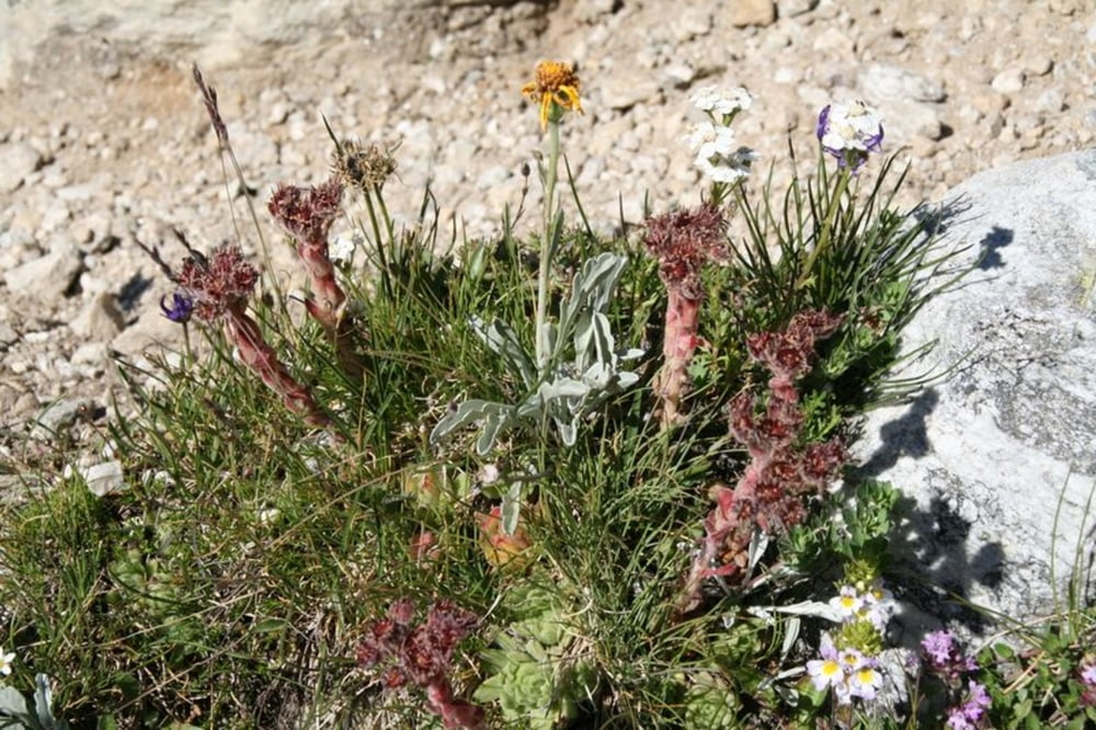
Durch den Walliser Wald gleichmässig und stetig nach oben. Viele Blumen begleiten das Auge und die Steigung des Weges bleibt moderat. In Kehren bis zur Bachquerung, danach geht es in das Tal. Am Bach ein Blick nach Westen zu Allalinhorn, Alphubel und Konsorten und zur darunter liegenden Gletscherlandschaft.
Die Almageller Alp bietet Erfrischung auf nahezu dem halben Weg.
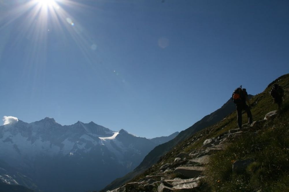
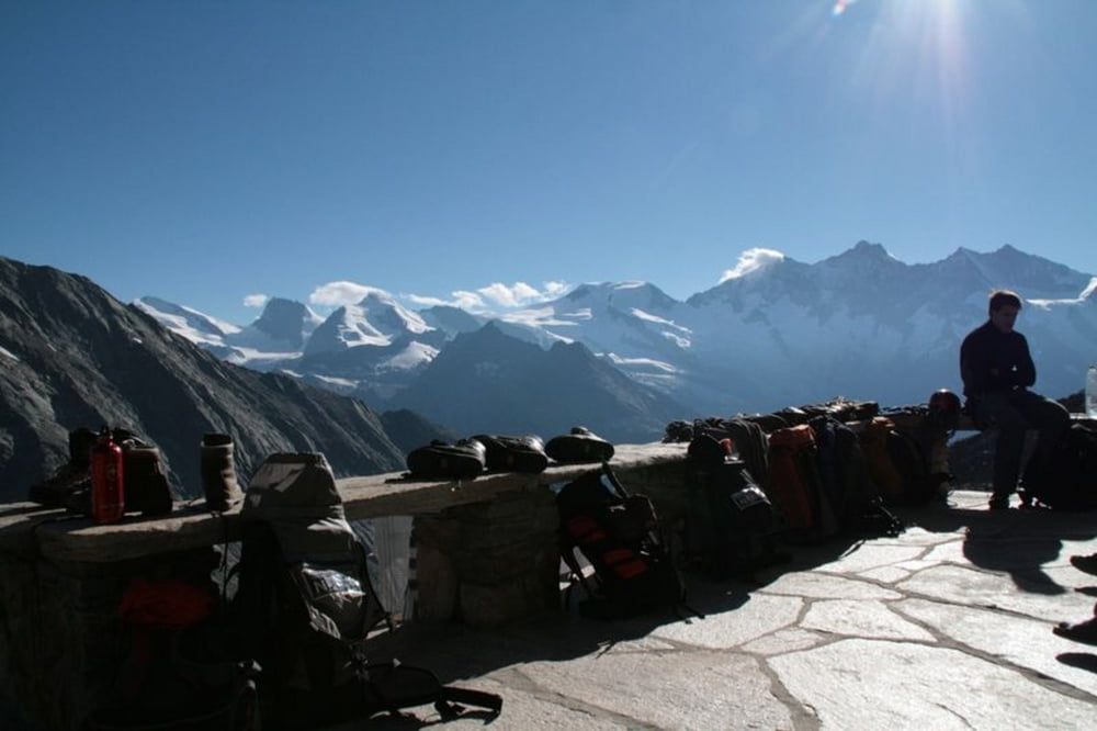
Danach geht es wieder effektiv in Kehren nach oben, ehe man die Hütte sieht und dann aber durchaus noch ein paar Meter geniessen darf.
Karte 1:25'000 Blatt 1329 Saas und
die Karte 1:50'000 Blatt 284 Mischabel.
Further information at
http://www.almagellerhuette.chTour gallery
Tour map and elevation profile
Minimum height 1666 m
Maximum height 2877 m
More about the tour author

|
pecka02 |
Comments

Mit den öffentlichen Verkehrsmittel:
Per Bahn bis nach Brig reisen. Anschliessend mit dem Postauto bis nach Saas Almagell, Post.
Mit dem Auto:
In Visp das Rhonetal verlassen und ins Saastal einbiegen. Dem Tal folgen bis nach Saas Almagell. Es bestehen verschiedene öffentliche, jedoch gebührenpflichtige, Parkplätze. Details können dem Ortsplan von Saas Almagell entnommen werden.
GPS tracks
Trackpoints-
GPX / Garmin Map Source (gpx) download
-
TCX / Garmin Training Center® (tcx) download
-
CRS / Garmin Training Center® (crs) download
-
Google Earth (kml) download
-
G7ToWin (g7t) download
-
TTQV (trk) download
-
Overlay (ovl) download
-
Fugawi (txt) download
-
Kompass (DAV) Track (tk) download
-
Track data sheet (pdf) download
-
Original file of the author (gpx) download
More about the tour author
|
|
pecka02 |
Add to my favorites
Remove from my favorites
Edit tags
Open track
My score
Rate