Login

Forgot your login?

Cookies have to be accepted!
Your browser's cookie functionality is disabled. Please enable this functionality.

Not a member yet?

Register now
Login

Available for registred users only

Log in to use this feature.

Forgot your login?

Cookies have to be accepted!
Your browser's cookie functionality is disabled. Please enable this functionality.

Not a member yet?

Register now
Filter
Categories
Advanced filters
  • Distance (km)
  • Height
Save filters Reset filter

TrackRank

QRCode

Technical data

Distance45,6 km Height878 m Way down1005 m Duration03:00 h:m Date07.08.2010
Scores Author Landscape Fun factor Fitness Technique

Statistics

2067 Views Scores 320 Downloads Average
Rate
  • Track data sheet
  • Directions
  • Downloads


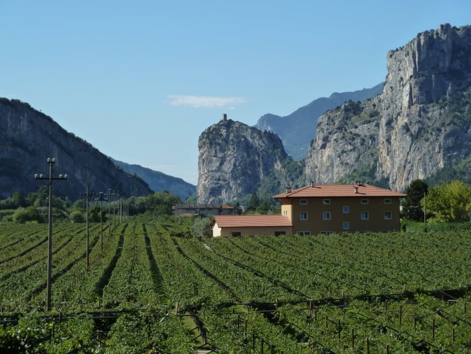
Kleine MTB - Trail Runde im Sarca Tal, Ideal wenn schlechtes Wetter ansteht. Keine Größeren Schwierigkeiten eingebaut, aber dafür schon schöne Talblicke.


Tour gallery

Tour map and elevation profile

  • Open Street Map
  • Google
Minimum height 61 m Maximum height 513 m Detailed view

More about the tour author

WOF_Bikebox
Member since 2010

Send private message

Comments


Brennerautobahn - Mori - Nago - Arco -- Zentrum


GPS tracks

Trackpoints
  • GPX / Garmin Map Source (gpx) download
  • TCX / Garmin Training Center® (tcx) download
  • CRS / Garmin Training Center® (crs) download
  • Google Earth (kml) download
  • G7ToWin (g7t) download
  • TTQV (trk) download
  • Overlay (ovl) download
  • Fugawi (txt) download
  • Kompass (DAV) Track (tk) download
  • Track data sheet (pdf) download
  • Original file of the author (gpx) download

More about the tour author

WOF_Bikebox
Member since 2010

Send private message
Share track
Add to my favorites
Remove from my favorites
Edit tags
My score
Rate
Track: Sarca Tal / Riva - Arco
Type: Mountain bike
Distance: 45,6 km
Evaluated on:
Duration:
Day(s)
Hour(s)
Minute(s)
Score: Landscape Fun factor Fitness Technique