Login

Forgot your login?

Cookies have to be accepted!
Your browser's cookie functionality is disabled. Please enable this functionality.

Not a member yet?

Register now
Login

Available for registred users only

Log in to use this feature.

Forgot your login?

Cookies have to be accepted!
Your browser's cookie functionality is disabled. Please enable this functionality.

Not a member yet?

Register now
Filter
Categories
Advanced filters
  • Distance (km)
  • Height
Save filters Reset filter

TrackRank

QRCode

Technical data

Distance89,6 km Height1402 m Way down1376 m Duration07:00 h:m Date07.08.2010
Scores Author Landscape Fun factor Fitness Technique

Statistics

374 Views Scores 41 Downloads Average
Rate
  • Track data sheet
  • Directions
  • Downloads

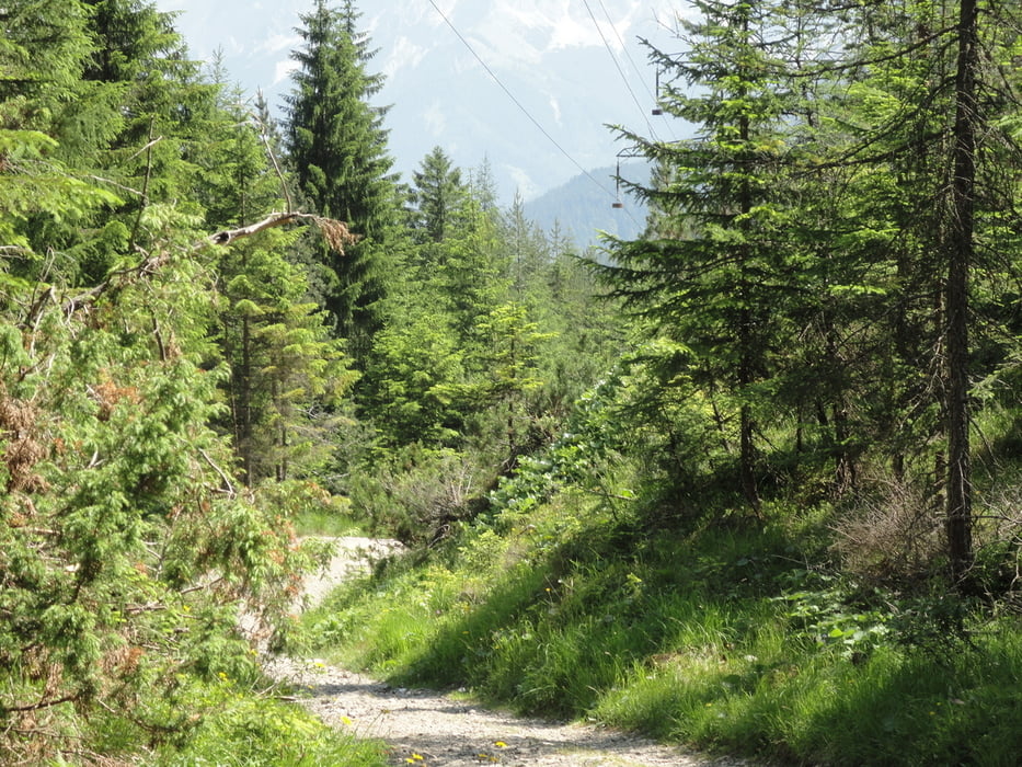
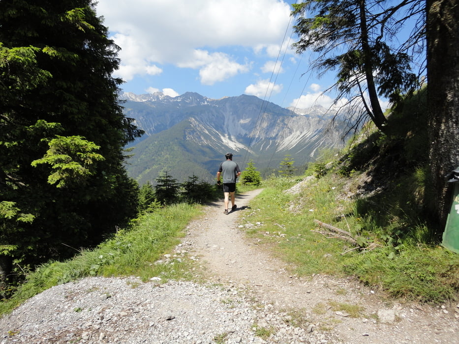
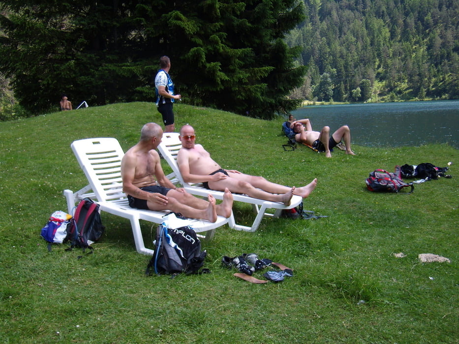
Von Zams aus fast durchweg auf der Via Claudia die sich als bedeutend anspruchsvoller erwies als wir gedacht hatten. Mittag und eine gemütliche Pause haben wir am Fernsteinsee gemacht. Alles in allem ne klasse Etappe.

Further information at

http://www.radsportwagner.de

Tour gallery

Tour map and elevation profile

  • Open Street Map
  • Google
Minimum height 721 m Maximum height 1289 m Detailed view

More about the tour author

Uli
Member since 2005

Send private message

Comments

Start in Füssen am Europarkhotel.

GPS tracks

Trackpoints
  • GPX / Garmin Map Source (gpx) download
  • TCX / Garmin Training Center® (tcx) download
  • CRS / Garmin Training Center® (crs) download
  • Google Earth (kml) download
  • G7ToWin (g7t) download
  • TTQV (trk) download
  • Overlay (ovl) download
  • Fugawi (txt) download
  • Kompass (DAV) Track (tk) download
  • Track data sheet (pdf) download
  • Original file of the author (gpx) download

More about the tour author

Uli
Member since 2005

Send private message
Share track
Add to my favorites
Remove from my favorites
Edit tags
My score
Rate
Track: Pfaffenhofen-Riva Etappe 3 Füssen-Zams
Type: Transalp
Distance: 89,6 km
Evaluated on:
Duration:
Day(s)
Hour(s)
Minute(s)
Score: Landscape Fun factor Fitness Technique