


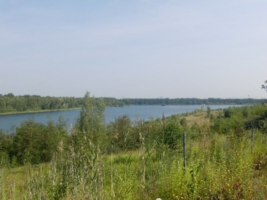
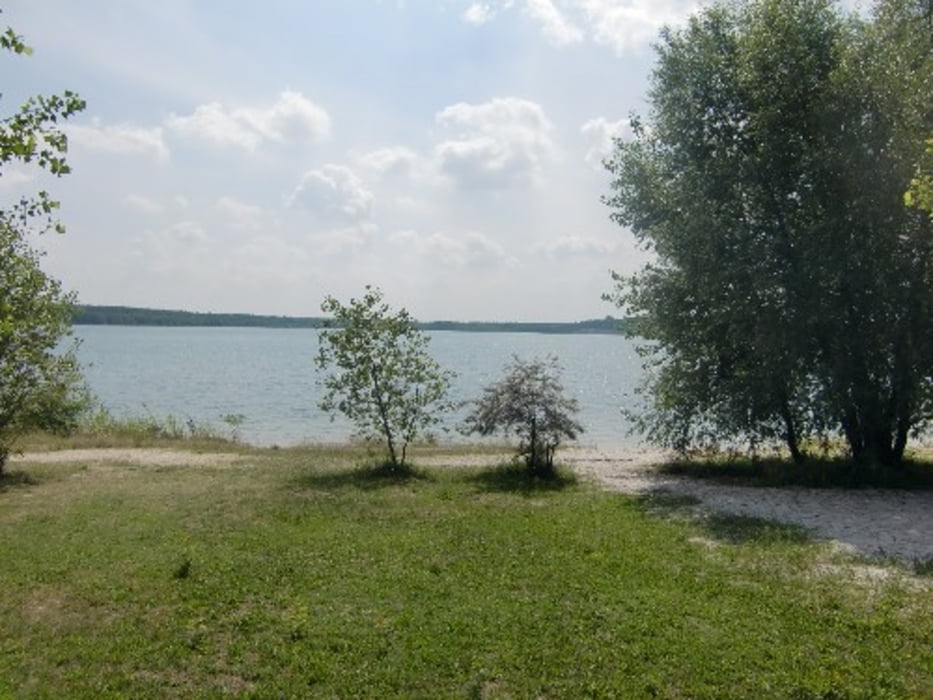
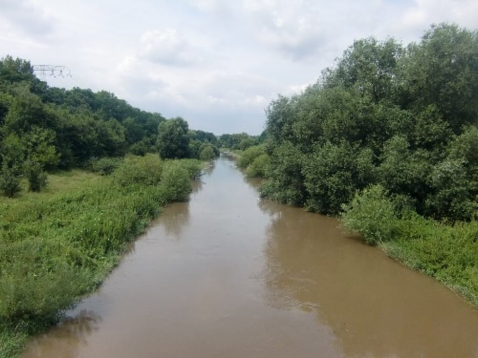
Rundkurs WEIßENFELS- TAUCHA- MUSCHWITZ- STARSIEDEL- WERBENER SEE- PEGAU- GROITZSCH- GATZEN- LUCKA- HASELBACHER SEE- REGIS-BREITINGEN- Pleißeradweg- Stausee RÖTHA- GAULIS- GROßSTÄTELN- Cospudener See – REHBACH- SEEBENISCH- MEUCHEN- LÜTZEN
Auf Radwegen, Wanderwegen und Nebenstraßen. Es ist alles vertreten über Asphalt, Schotter, bis hin zu naturbelassenen Wegen. Landschaftlich eine super Strecke, die wir mit dem Trekingrad und dem MTB gefahren sind.
Further information at
http://www.mtb-news.de/forum/showpost.php?p=7428479&postcount=1204Tour gallery

Tour map and elevation profile
Minimum height 93 m
Maximum height 184 m
More about the tour author
|
|
Udo1 |
Comments

<iframe width="425" height="350" frameborder="0" scrolling="no" marginheight="0" marginwidth="0" src="http://maps.google.de/maps/ms?hl=de&client=firefox-a&ie=UTF8&msa=0&ll=51.2008,11.972&spn=0.010178,0.026608&msid=115188028456029843075.00048d51819e3cde238ba&output=embed"></iframe><br /><small><a href="http://maps.google.de/maps/ms?hl=de&client=firefox-a&ie=UTF8&msa=0&ll=51.2008,11.972&spn=0.010178,0.026608&msid=115188028456029843075.00048d51819e3cde238ba&source=embed" style="color:#0000FF;text-align:left">Markt 3, 06667, Weißenfels</a> auf einer größeren Karte anzeigen</small>
GPS tracks
Trackpoints-
GPX / Garmin Map Source (gpx) download
-
TCX / Garmin Training Center® (tcx) download
-
CRS / Garmin Training Center® (crs) download
-
Google Earth (kml) download
-
G7ToWin (g7t) download
-
TTQV (trk) download
-
Overlay (ovl) download
-
Fugawi (txt) download
-
Kompass (DAV) Track (tk) download
-
Track data sheet (pdf) download
-
Original file of the author (gpx) download
More about the tour author
|
|
Udo1 |
Add to my favorites
Remove from my favorites
Edit tags
Open track
My score
Rate