
")

Bad Goisern - Sankt Agatha
Start ist in Sankt Agatha bei der Pension Leprich.
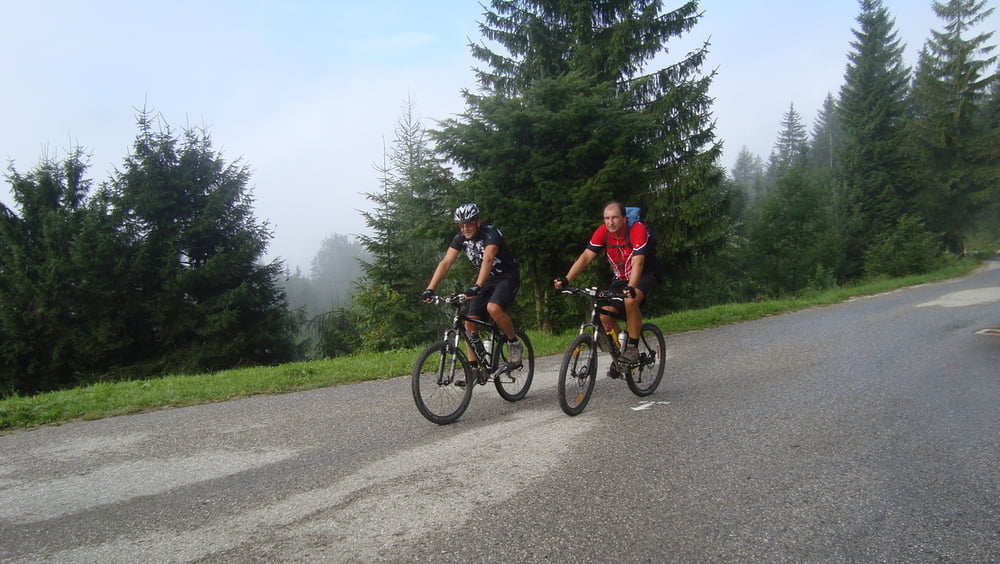
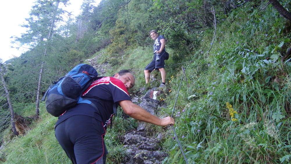
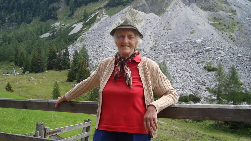
Mit dem Mountenbike geht es zuerst auf Asphalt dann auf einer Schotterstraße 6km und ca.500hm aufwärts bis die Strasse endet. Im Wald das Rad absperren und zu Fuß 45min. den Wanderweg entlang zur Sandlingalm. Zum Gipfelkreuz geht es sehr steil und immer das Drahtseil in der Hand noch einmal 45min. bergauf. Auf alle Fälle gutes Schuhwerk mitnehmen oder wie ich, gleich mit den Bergschuhen fahren! Wunderschöner Gipfel. Entweder gleichen Weg zurück oder den längeren Weg (ca.30min.länger) zurück zur Sandlingalm. Bewirtung von einer sehr netten 80jähriger Frau, die alleine im Sommer auf der Alm lebt. Wanderweg zurück zu den Rädern und eine schnelle Abfahrt nach Sankt Agatha.
mehr Bilder: seppdepp.heim.at
Tour gallery

Tour map and elevation profile
Minimum height 558 m
Maximum height 1722 m
More about the tour author
|
|
Atzbach |
Comments

GPS tracks
Trackpoints-
GPX / Garmin Map Source (gpx) download
-
TCX / Garmin Training Center® (tcx) download
-
CRS / Garmin Training Center® (crs) download
-
Google Earth (kml) download
-
G7ToWin (g7t) download
-
TTQV (trk) download
-
Overlay (ovl) download
-
Fugawi (txt) download
-
Kompass (DAV) Track (tk) download
-
Track data sheet (pdf) download
-
Original file of the author (gpx) download
More about the tour author
|
|
Atzbach |
Add to my favorites
Remove from my favorites
Edit tags
Open track
My score
Rate