Login

Forgot your login?

Cookies have to be accepted!
Your browser's cookie functionality is disabled. Please enable this functionality.

Not a member yet?

Register now
Login

Available for registred users only

Log in to use this feature.

Forgot your login?

Cookies have to be accepted!
Your browser's cookie functionality is disabled. Please enable this functionality.

Not a member yet?

Register now
Filter
Categories
Advanced filters
  • Distance (km)
  • Height
Save filters Reset filter

TrackRank

QRCode

Technical data

Distance30,0 km Height443 m Way down486 m Duration00:00 h:m Date09.08.2010
Scores Author Landscape Fun factor Fitness Technique

Statistics

2065 Views Scores 77 Downloads Average
Rate
  • Track data sheet
  • Directions
  • Downloads

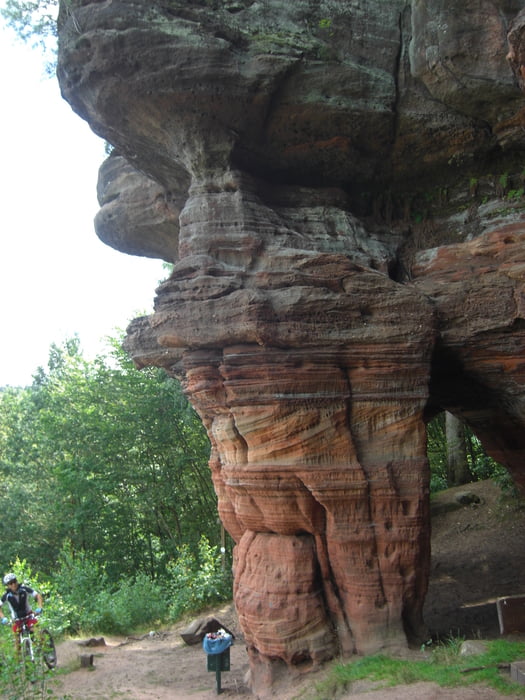
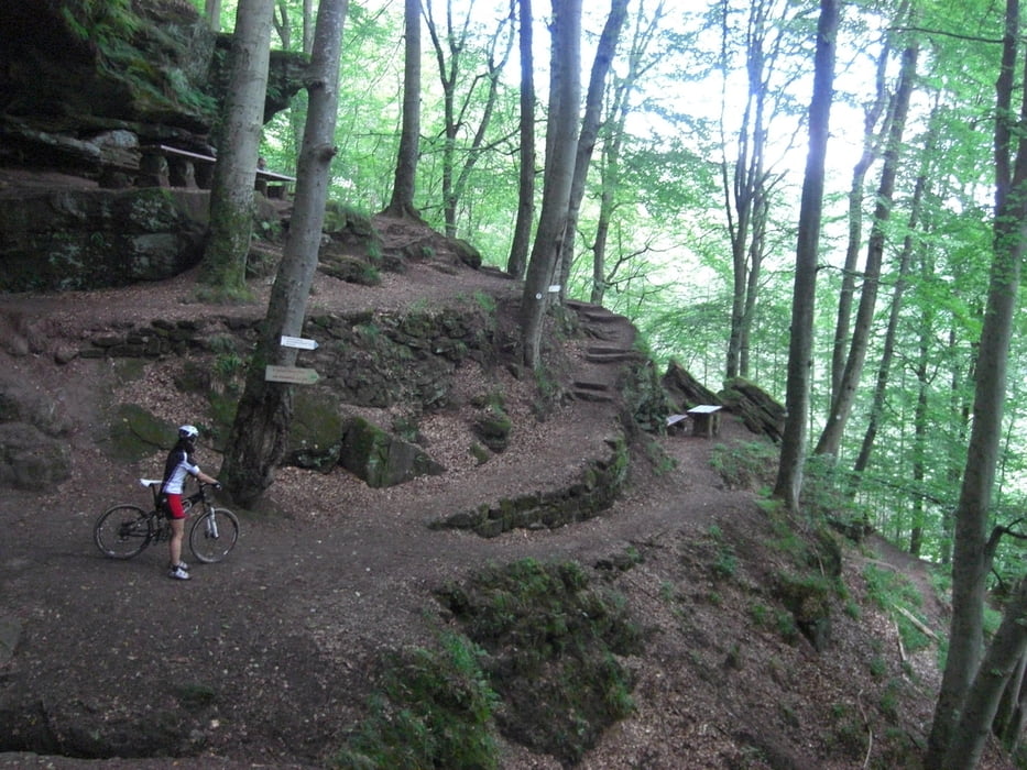
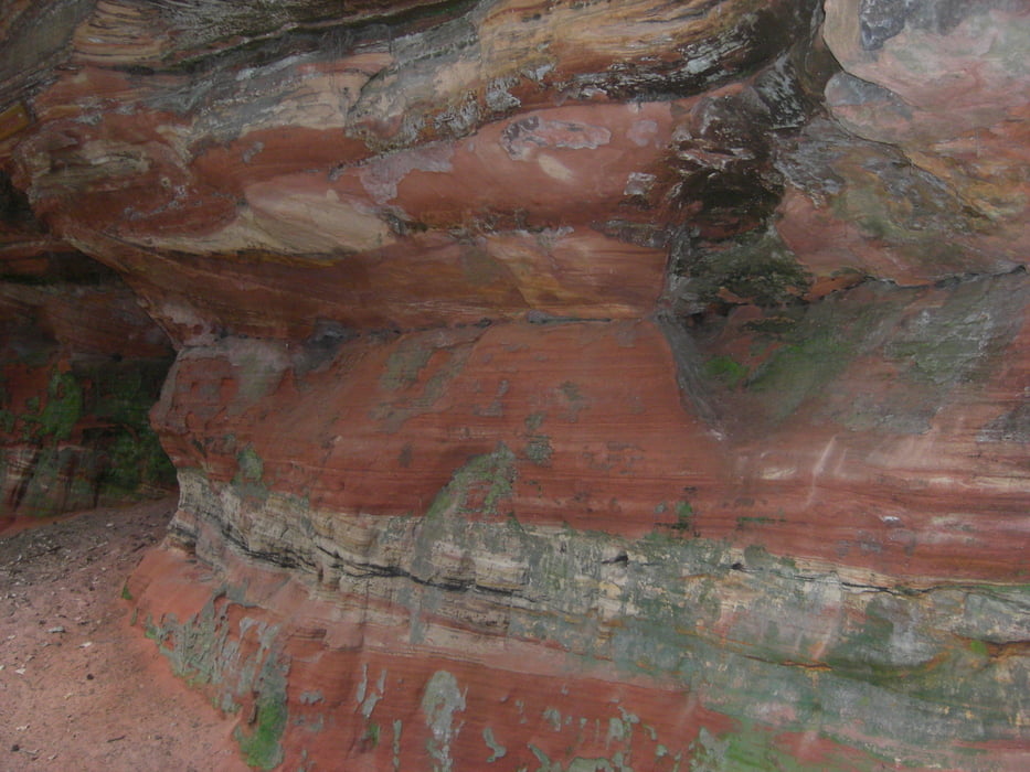
Eigentlich ein Wanderweg, aber unter der Woche ein Bikeertraum. Singletrails only. Leider wurde die Tour wegen Regens nach 30 km abgebrochen, aber die gesamte Runde wird nachgeholt...

Tour gallery

Tour map and elevation profile

  • Open Street Map
  • Google
Minimum height 227 m Maximum height 361 m Detailed view

More about the tour author

wali52
Member since 2008

Send private message

Comments

GPS tracks

Trackpoints
  • GPX / Garmin Map Source (gpx) download
  • TCX / Garmin Training Center® (tcx) download
  • CRS / Garmin Training Center® (crs) download
  • Google Earth (kml) download
  • G7ToWin (g7t) download
  • TTQV (trk) download
  • Overlay (ovl) download
  • Fugawi (txt) download
  • Kompass (DAV) Track (tk) download
  • Track data sheet (pdf) download
  • Original file of the author (gpx) download

More about the tour author

wali52
Member since 2008

Send private message
Share track
Add to my favorites
Remove from my favorites
Edit tags
My score
Rate
Track: Felsenwanderweg Rodalben
Type: Mountain bike
Distance: 30,0 km
Evaluated on:
Duration:
Day(s)
Hour(s)
Minute(s)
Score: Landscape Fun factor Fitness Technique