


Start in Imst beim Parkplatz der Polizei. Durch die Stadt bis zum Bahnhof. Auf dem Radweg durch die Imster Schlucht nach Roppen/Waldele. Strasse hinauf nach Wald. In Wald beim Dorfbrunnen hinauf zum Gasthaus Waldeck. Weiter Richtung Wenner Alpe und auf der Forststrasse bei der ersten Abzweigung Richtung ... Kapelle. Auf dem Forstweg über Leins bis Jerzens/Kaitanger. Von dort auf der Strasse nach Leins, Arzl zurück nach Imst.
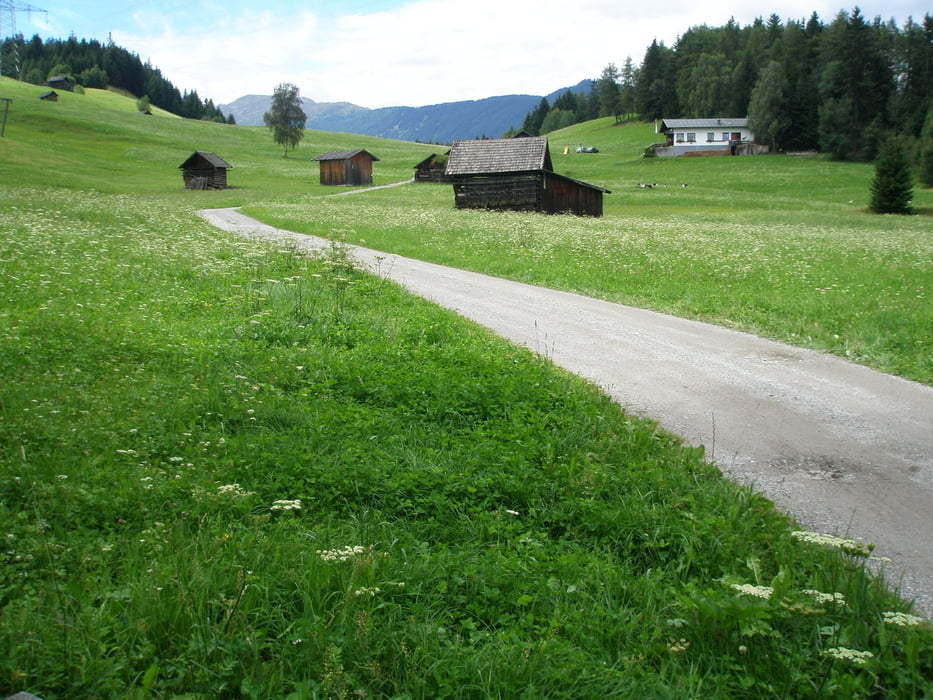
Tour gallery
Tour map and elevation profile
Minimum height 713 m
Maximum height 1467 m
More about the tour author
|
|
simplon73 |
Comments

GPS tracks
Trackpoints-
GPX / Garmin Map Source (gpx) download
-
TCX / Garmin Training Center® (tcx) download
-
CRS / Garmin Training Center® (crs) download
-
Google Earth (kml) download
-
G7ToWin (g7t) download
-
TTQV (trk) download
-
Overlay (ovl) download
-
Fugawi (txt) download
-
Kompass (DAV) Track (tk) download
-
Track data sheet (pdf) download
-
Original file of the author (gpx) download
More about the tour author
|
|
simplon73 |
Add to my favorites
Remove from my favorites
Edit tags
Open track
My score
Rate