


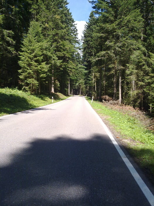
Diesmal ist es eine Einwegtour von Heuweiler nach Bretten. Ab Waldkirch ging es das Elztal bis Elzach flach dahin und ab Oberbrechtal stieg es langsam an bis es am Schluß sehr steil endet. Danach folgt die Abfahrt (ca.20%) nach Steingrün und weiter Richtung Wolfach ins Kinzigtal. Bis Schenkenzell ging es an der Kinzig etwas Bergan, im kleinen Kinzigtal wurde es dann schon etwas steiler bis man in Freudenstadt rauskommt. Hier nimmt man die Abfahrt Richtung Baiersbronn und fährt im Murgtal lang bis die Auffahrt wieder Richtung B 294 beginnt. Ein Stück die B 294 entlang bis zum Abzweig nach Poppental und hinunter geht es bis nach Bad Wildbad. Wieder vor auf die B294 in Calmbach und dann Richting Pforzheim bergab. In Neuenbürg beginnt ein Aufstieg bis Birkenfeld und weiter umfährt man Pforzheim bis Kämpfelbach und biegt in Königsbach nach Bretten ab.
Tour gallery
Tour map and elevation profile
Minimum height 180 m
Maximum height 838 m
More about the tour author
|
|
titanbiker |
Comments

GPS tracks
Trackpoints-
GPX / Garmin Map Source (gpx) download
-
TCX / Garmin Training Center® (tcx) download
-
CRS / Garmin Training Center® (crs) download
-
Google Earth (kml) download
-
G7ToWin (g7t) download
-
TTQV (trk) download
-
Overlay (ovl) download
-
Fugawi (txt) download
-
Kompass (DAV) Track (tk) download
-
Track data sheet (pdf) download
-
Original file of the author (gpx) download
More about the tour author
|
|
titanbiker |
Add to my favorites
Remove from my favorites
Edit tags
Open track
My score
Rate