Login

Forgot your login?

Cookies have to be accepted!
Your browser's cookie functionality is disabled. Please enable this functionality.

Not a member yet?

Register now
Login

Available for registred users only

Log in to use this feature.

Forgot your login?

Cookies have to be accepted!
Your browser's cookie functionality is disabled. Please enable this functionality.

Not a member yet?

Register now
Filter
Categories
Advanced filters
  • Distance (km)
  • Height
Save filters Reset filter

TrackRank

QRCode

Technical data

Distance50,9 km Height138 m Way down167 m Duration00:00 h:m Date14.08.2010
Scores Author Landscape Fun factor Fitness Technique

Statistics

338 Views Scores 97 Downloads Average
Rate
  • Track data sheet
  • Directions
  • Downloads

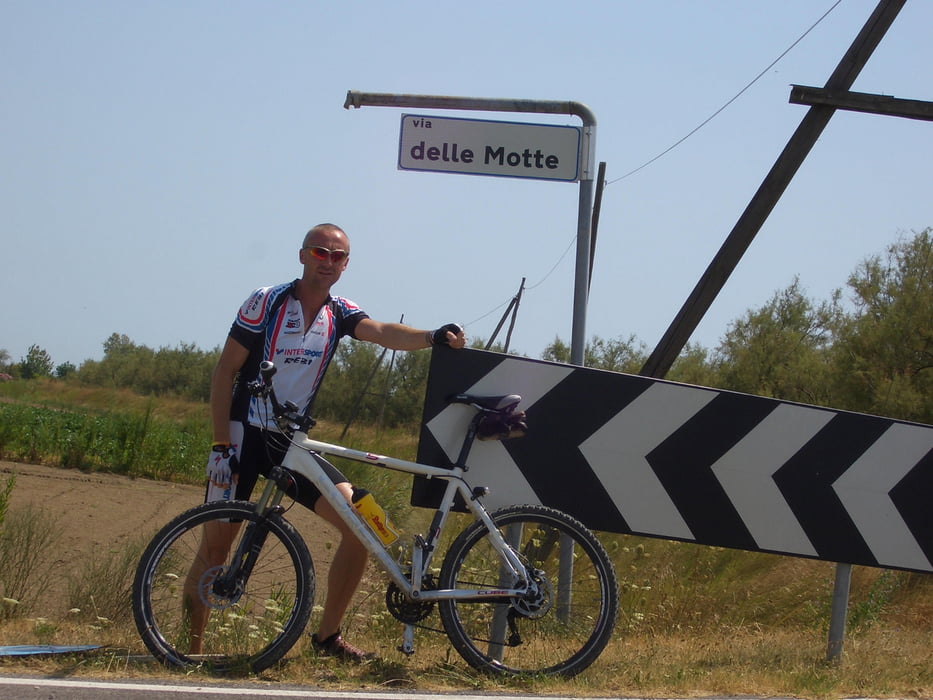
Hier habe ich eine gute Trainingsmöglichkeit für ALLE die, die nicht an der Hauptverbindungsstraße Radeln möchten.

Further information at

/en/tracks/total-tour-archive/running.html?search_country=&search_words=ewald%20hoffmann&submit=suchen

Tour map and elevation profile

  • Open Street Map
  • Google
Minimum height -15 m Maximum height 38 m Detailed view

More about the tour author

ewald_hoffmann
Member since 2008

Send private message

Comments

GPS tracks

Trackpoints
  • GPX / Garmin Map Source (gpx) download
  • TCX / Garmin Training Center® (tcx) download
  • CRS / Garmin Training Center® (crs) download
  • Google Earth (kml) download
  • G7ToWin (g7t) download
  • TTQV (trk) download
  • Overlay (ovl) download
  • Fugawi (txt) download
  • Kompass (DAV) Track (tk) download
  • Track data sheet (pdf) download
  • Original file of the author (gpx) download

More about the tour author

ewald_hoffmann
Member since 2008

Send private message
Share track
Add to my favorites
Remove from my favorites
Edit tags
My score
Rate
Track: 50 km Tour an der Adria
Type: Mountain bike
Distance: 50,9 km
Evaluated on:
Duration:
Day(s)
Hour(s)
Minute(s)
Score: Landscape Fun factor Fitness Technique