Login

Forgotten password?

Cookies have to be accepted!
Your browser's cookie functionality is disabled. Please enable this functionality.

Not a member yet?

Register now
Login

Available for registred users only

Log in to use this feature.

Forgotten password?

Cookies have to be accepted!
Your browser's cookie functionality is disabled. Please enable this functionality.

Not a member yet?

Register now
Filter
Categories
Advanced filters
  • Distance (km)
  • Height
Save filters Reset filter

TrackRank

QRCode

Technical data

Distance22,5 km Height27 m Way down1295 m Duration02:30 h:m Date14.08.2010
Scores Author Landscape Fun factor Fitness Technique

Statistics

252 Views Scores 22 Downloads Average
Rate
  • Track data sheet
  • Directions
  • Downloads

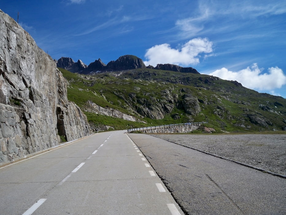
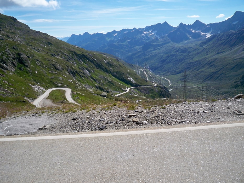
Von Airolo an der Südseite des Gotthard Tunnels geht es hinauf zum Nufenen Pass. 23 km und 1300 Höhenmeter sind zu überwinden.

Tour gallery

Tour map and elevation profile

  • Open Street Map
  • Google
Minimum height 1183 m Maximum height 2480 m Detailed view

More about the tour author

andyderbiker
Member since 2009

Send private message

Comments

GPS tracks

Trackpoints
  • GPX / Garmin Map Source (gpx) download
  • TCX / Garmin Training Center® (tcx) download
  • CRS / Garmin Training Center® (crs) download
  • Google Earth (kml) download
  • G7ToWin (g7t) download
  • TTQV (trk) download
  • Overlay (ovl) download
  • Fugawi (txt) download
  • Kompass (DAV) Track (tk) download
  • Track data sheet (pdf) download
  • Original file of the author (gpx) download

More about the tour author

andyderbiker
Member since 2009

Send private message
Share track
Add to my favorites
Remove from my favorites
Edit tags
My score
Rate
Track: Der Nufenen Pass
Type: Road biking
Distance: 22,5 km
Evaluated on:
Duration:
Day(s)
Hour(s)
Minute(s)
Score: Landscape Fun factor Fitness Technique