


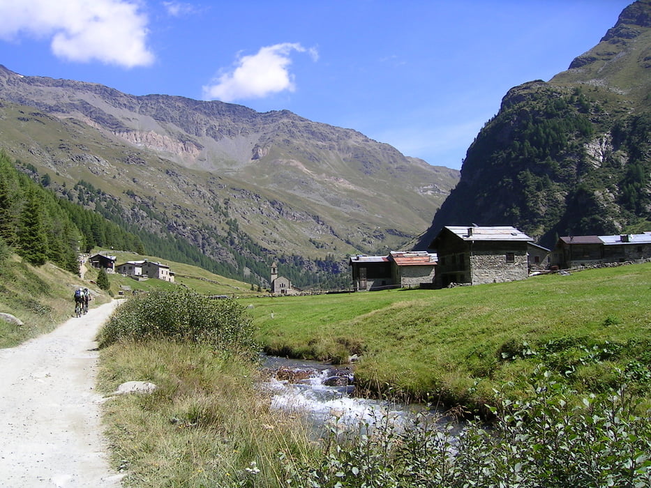
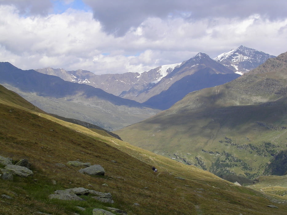
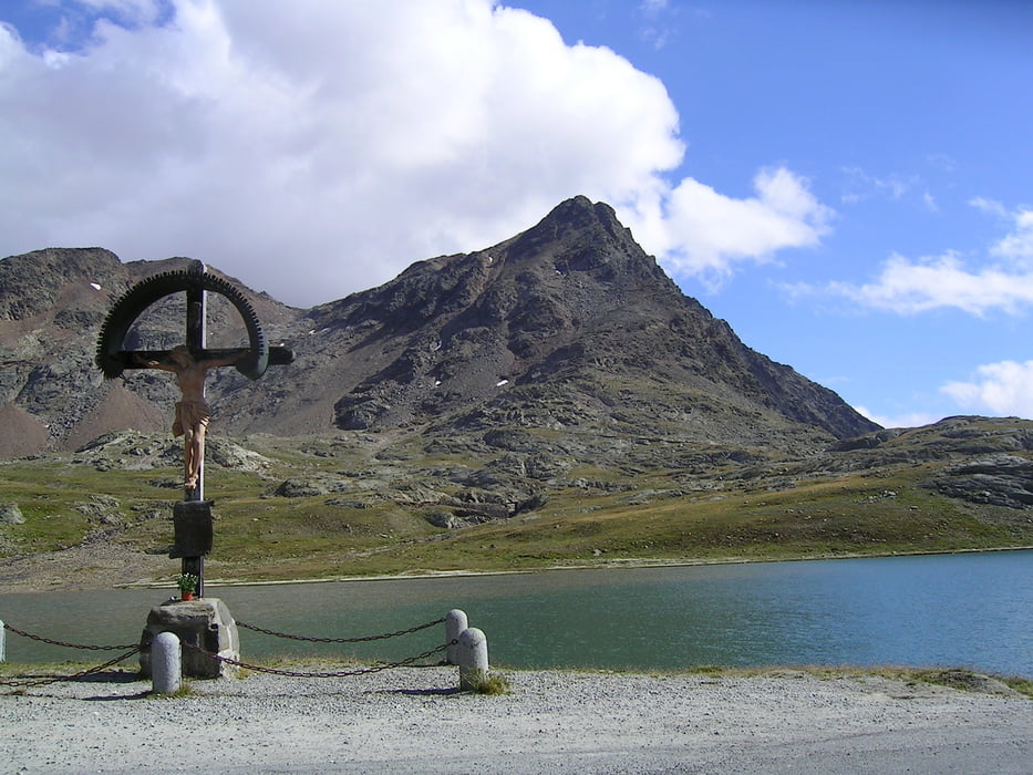
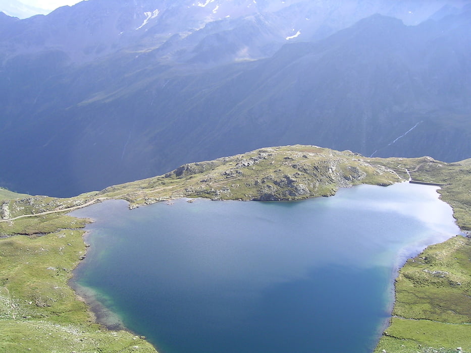
Königsetappe über 3 Pässe - Start in Bormio vorbei am Flüßchen Adda über St. Bartolomeo bis Le Prese - Beginn des steilen Aufstiegs Richtung Val Rezzalo (Einkehr im Rifugio "La Baita" bei Allessandro ist hier sehr zu empfehlen) - genießen der traumhaften Aussichten im Val Rezzalo - weiter steil über Schotter und später über kaum fahrbaren Trail zum Passo dell' Alpe - danach flowiger Trail hinunter zur Gavia-Passstraße - ab da über Asphalt nicht steil aber lang zum Lago Bianco und zum Gaviapass - Abfahrt über Asphalt vorbei am traumhaft schönen Lago Nero bis Ponte di Legno (dabei den Tunnel rechts auf der alten Route umfahren!) - danach hoch zum Passo Tonale und Speedabfahrt über Asphalt nach Ossana.
Tour gallery
Tour map and elevation profile
Minimum height 959 m
Maximum height 2615 m
More about the tour author

|
Comments

GPS tracks
Trackpoints-
GPX / Garmin Map Source (gpx) download
-
TCX / Garmin Training Center® (tcx) download
-
CRS / Garmin Training Center® (crs) download
-
Google Earth (kml) download
-
G7ToWin (g7t) download
-
TTQV (trk) download
-
Overlay (ovl) download
-
Fugawi (txt) download
-
Kompass (DAV) Track (tk) download
-
Track data sheet (pdf) download
-
Original file of the author (gpx) download
More about the tour author
|
|
Add to my favorites
Remove from my favorites
Edit tags
Open track
My score
Rate