


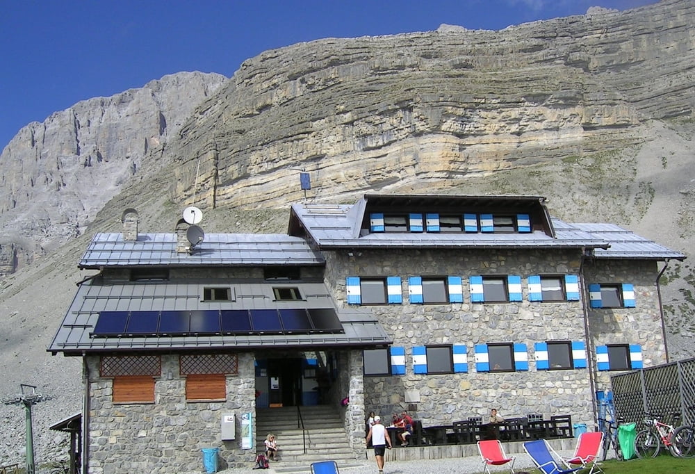
Start in Ossana über Radweg entlang des Noce bis Dimaro - über Schotter zur Malga Mondifra (einzige nicht empfehlenswerte Hütte der ganzen Tour; unfreundliches Personal und es gelang uns über eine halbe Stunde nicht, eine Bestellung loszuwerden. Dafür hat man uns nach 25 Minuten darauf aufmerksam gemacht, dass der Tisch, an dem wir saßen angeblich reserviert sei und so fuhren wir halt weiter....) - am Golfplatz links hoch; teils sehr steile Schotterauffahrt in Richtung Passo Grosté bis zum Rifugio Graffer - vor dem unvergesslichen Panorama der Brenta-Dolomiten. Schöner kann ein Tag nicht ausklingen....
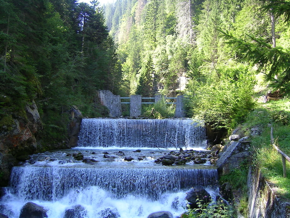
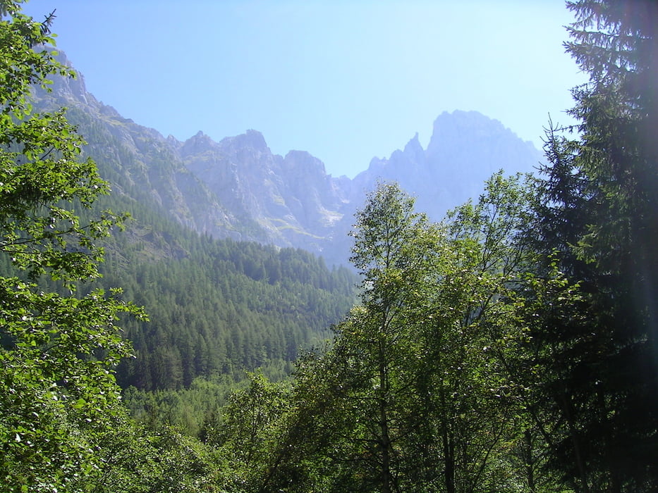
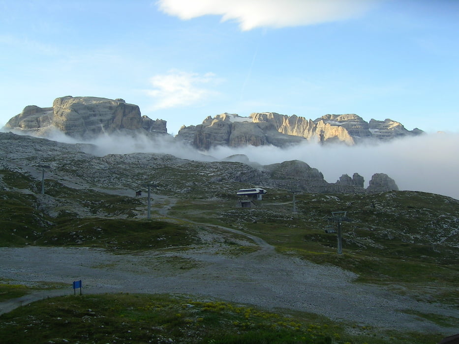
Tour gallery
Tour map and elevation profile
Minimum height 775 m
Maximum height 2254 m
More about the tour author

|
Comments

GPS tracks
Trackpoints-
GPX / Garmin Map Source (gpx) download
-
TCX / Garmin Training Center® (tcx) download
-
CRS / Garmin Training Center® (crs) download
-
Google Earth (kml) download
-
G7ToWin (g7t) download
-
TTQV (trk) download
-
Overlay (ovl) download
-
Fugawi (txt) download
-
Kompass (DAV) Track (tk) download
-
Track data sheet (pdf) download
-
Original file of the author (gpx) download
More about the tour author
|
|
Add to my favorites
Remove from my favorites
Edit tags
Open track
My score
Rate