Login

Forgot your login?

Cookies have to be accepted!
Your browser's cookie functionality is disabled. Please enable this functionality.

Not a member yet?

Register now
Login

Available for registred users only

Log in to use this feature.

Forgot your login?

Cookies have to be accepted!
Your browser's cookie functionality is disabled. Please enable this functionality.

Not a member yet?

Register now
Filter
Categories
Advanced filters
  • Distance (km)
  • Height
Save filters Reset filter

TrackRank

QRCode

Technical data

Distance84,6 km Height935 m Way down932 m Duration05:10 h:m Date17.08.2010
Scores Author Landscape Fun factor Fitness Technique

Statistics

371 Views Scores 55 Downloads Average
Rate
  • Track data sheet
  • Directions
  • Downloads

Runde um den Kobernaußerwald

Gesamte Strecke auf asphaltierten, meist verkehrsarmen Straßen.

Gute Mischung aus Anstiegen, Flachstücken und Abfahrten.

Aufgrund der Länge und des Streckenprofils ist gute Kondition von Vorteil.
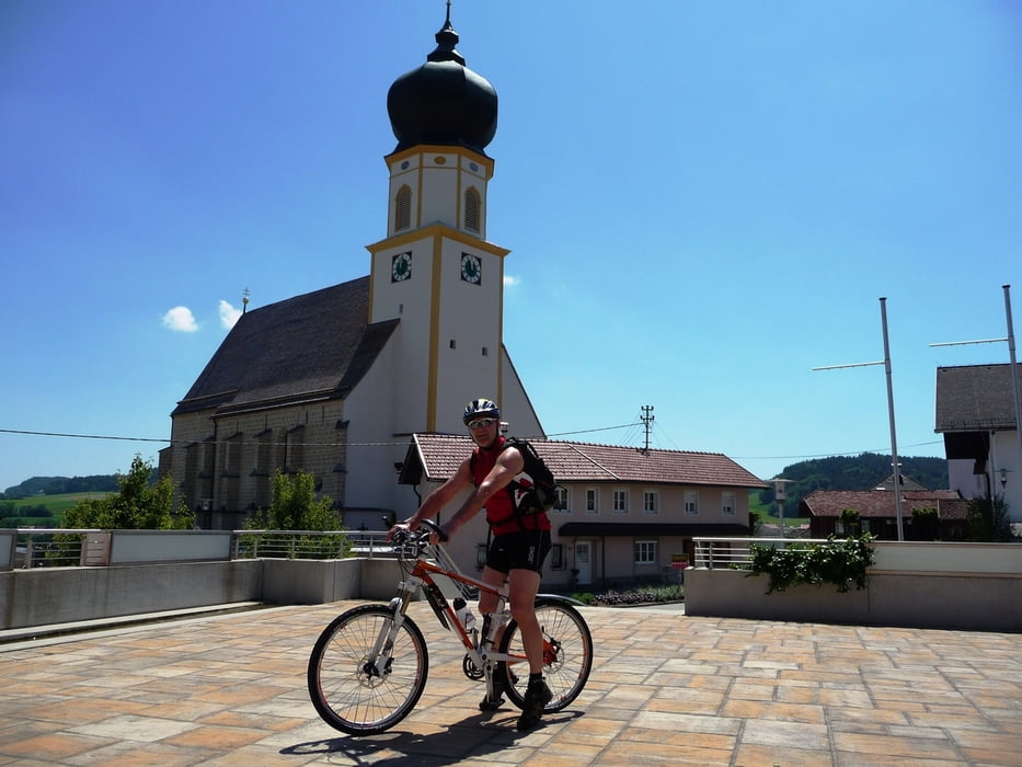
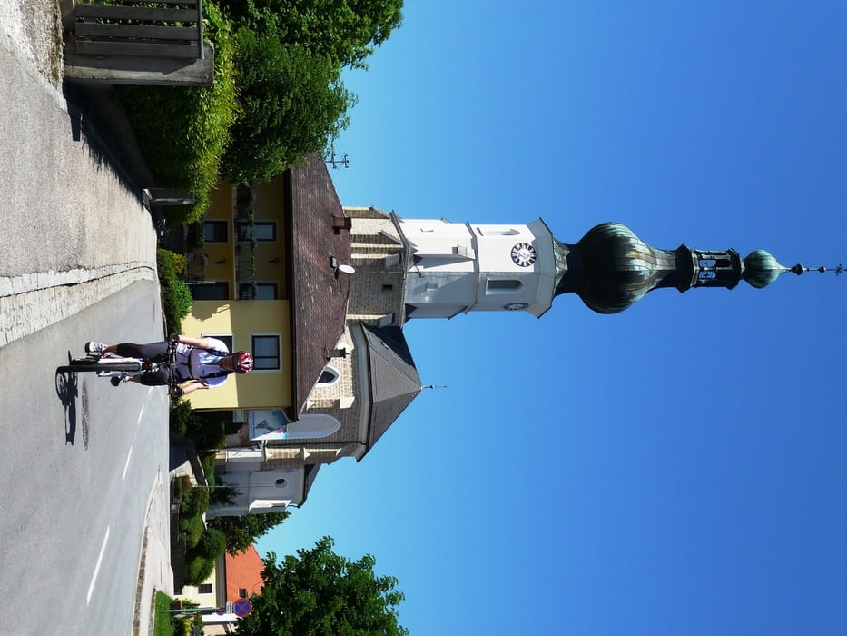
Tour gallery

Tour map and elevation profile

  • Open Street Map
  • Google
Minimum height 417 m Maximum height 757 m Detailed view

More about the tour author

19adi48
Member since 2010

Send private message

Comments

Start bzw.Einstieg in diese Runde ist entlang der gesamten Strecke möglich.

GPS tracks

Trackpoints
  • GPX / Garmin Map Source (gpx) download
  • TCX / Garmin Training Center® (tcx) download
  • CRS / Garmin Training Center® (crs) download
  • Google Earth (kml) download
  • G7ToWin (g7t) download
  • TTQV (trk) download
  • Overlay (ovl) download
  • Fugawi (txt) download
  • Kompass (DAV) Track (tk) download
  • Track data sheet (pdf) download
  • Original file of the author (tcx) download

More about the tour author

19adi48
Member since 2010

Send private message
Share track
Add to my favorites
Remove from my favorites
Edit tags
My score
Rate
Track: Rund um den Kobernaußerwald
Type: Bicycle tours
Distance: 84,6 km
Evaluated on:
Duration:
Day(s)
Hour(s)
Minute(s)
Score: Landscape Fun factor Fitness Technique