


Technisch einfache Tour von Sterzing nach Marter - ursprünglich wollten wir auf der Route weiter bis Levico-Terme, aber da hat uns das einzige Gewitter der Tour eingeholt, daher sind wir mit dem Zug " für'n Appel und'n Ei" nach Levico-Terme. Wie gesagt technisch einfach und bei 4-5 Tagen auch konditionell problemlos machbar. Beschreibungen der Dolomiten gibt's reichlich, ich schliesse mich an: ein Traum ! Biken in den Alpen ist in jeder Hinsicht und für alle Leistungsgrade kaum zu toppen - und die Dolomiten sind dabei weit vorne.
Sterzing - Rodenecker Alm -Jakobsstöckl - St.Vigil - PederüHütte - Fanes - FanesHütte - Limojoch - Pralongia - Passo Lusia - Manghenpass ..... sind so ganz grob die Eckpunkte dieser Tour.
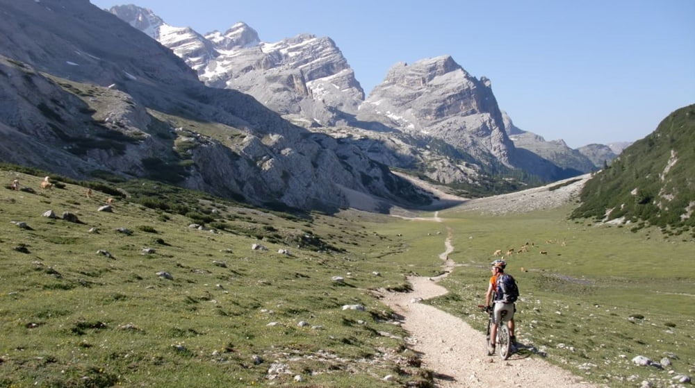
Tour gallery

Tour map and elevation profile
Minimum height 372 m
Maximum height 2238 m
More about the tour author

|
mfa69 |
Comments

Über die Brennerautobahn bis Sterzing, parken am Sportplatz.
Rückfahrt per Bahn bis Sterzing.
GPS tracks
Trackpoints-
GPX / Garmin Map Source (gpx) download
-
TCX / Garmin Training Center® (tcx) download
-
CRS / Garmin Training Center® (crs) download
-
Google Earth (kml) download
-
G7ToWin (g7t) download
-
TTQV (trk) download
-
Overlay (ovl) download
-
Fugawi (txt) download
-
Kompass (DAV) Track (tk) download
-
Track data sheet (pdf) download
-
Original file of the author (gpx) download
More about the tour author
|
|
mfa69 |
Add to my favorites
Remove from my favorites
Edit tags
Open track
My score
Rate