


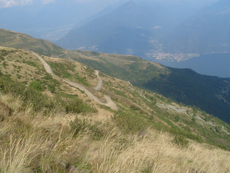
drivable way up to the Refugio Menaggio with small walk passage only.
The way up was taken from sergiomtbscialp Tour 59851 - thx, had no time to drive myself. The way up is new way to Alp Nedale and not included in commen maps (added in OSM now).
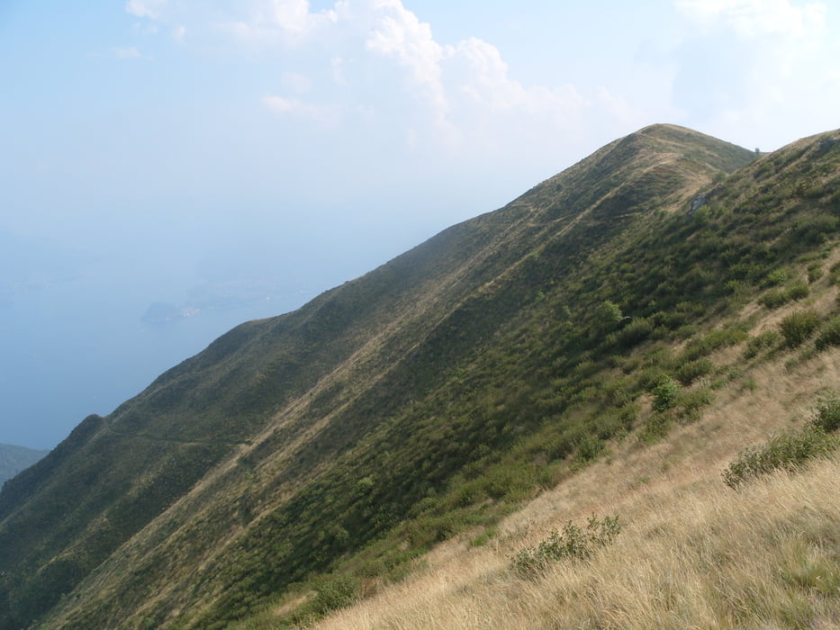
By a hiking tour from Refugio Croce di Campo to Refugio Menaggio (with the bike) i saw the new way up and the nice way down . So up on street to Alp Nedale, down nearly everything in S1-S3 singletrail.
Please drive carefuly, the way doun is in the beginning in steep alpine surrounding.
Further information at
http://www.casarina.comTour gallery
Tour map and elevation profile
Minimum height 221 m
Maximum height 1644 m
More about the tour author
|
|
skyhopper |
Comments

start in S. Maria near Menaggio Lake Como
GPS tracks
Trackpoints-
GPX / Garmin Map Source (gpx) download
-
TCX / Garmin Training Center® (tcx) download
-
CRS / Garmin Training Center® (crs) download
-
Google Earth (kml) download
-
G7ToWin (g7t) download
-
TTQV (trk) download
-
Overlay (ovl) download
-
Fugawi (txt) download
-
Kompass (DAV) Track (tk) download
-
Track data sheet (pdf) download
-
Original file of the author (gpx) download
More about the tour author
|
|
skyhopper |
Add to my favorites
Remove from my favorites
Edit tags
Open track
My score
Rate