Login

Forgot your login?

Cookies have to be accepted!
Your browser's cookie functionality is disabled. Please enable this functionality.

Not a member yet?

Register now
Login

Available for registred users only

Log in to use this feature.

Forgot your login?

Cookies have to be accepted!
Your browser's cookie functionality is disabled. Please enable this functionality.

Not a member yet?

Register now
Filter
Categories
Advanced filters
  • Distance (km)
  • Height
Save filters Reset filter

TrackRank

QRCode

Technical data

Distance110,1 km Height2620 m Way down2551 m Duration07:45 h:m Date22.08.2010
Scores Author Landscape Fun factor Fitness Technique

Statistics

416 Views Scores 36 Downloads Average
Rate
  • Track data sheet
  • Directions
  • Downloads

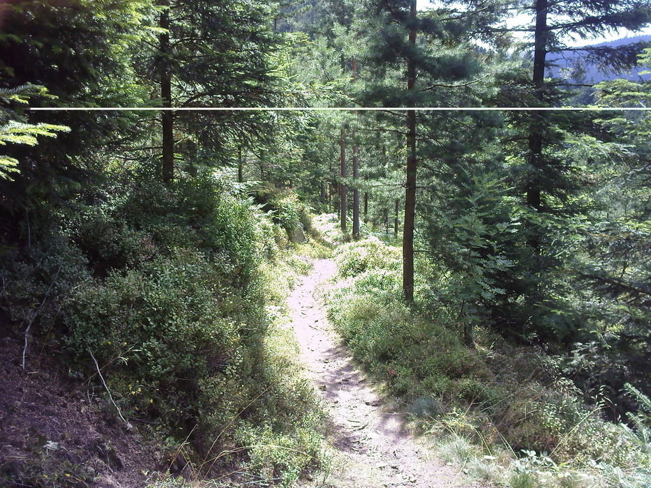
Schöne Schwarzwaldtour bei kaiserlichem Wetter. Die Tour beansprucht ein bißchen Kondition.

Details über diese Tour: Trails, Forstwege.

Beginnt an der AKS  Stiftung in der Kantstr. in Pforzheim und führt über Trails zum Kupferhammer, weiterhin nach Dillstein, Büchenbronnerturm, Calmbach, Wildbad, Grünhütte, Kaltenbronn, Hohlohsee und Turm, Bad Herrenalb, Dobel, Eyachmühle, Neuenbürg, Größeltal, Kupferhammer, AKS Stiftung.

Tour map and elevation profile

  • Open Street Map
  • Google
Minimum height 261 m Maximum height 991 m Detailed view

More about the tour author

lapierre
Member since 2008

Send private message

Comments

GPS tracks

Trackpoints
  • GPX / Garmin Map Source (gpx) download
  • TCX / Garmin Training Center® (tcx) download
  • CRS / Garmin Training Center® (crs) download
  • Google Earth (kml) download
  • G7ToWin (g7t) download
  • TTQV (trk) download
  • Overlay (ovl) download
  • Fugawi (txt) download
  • Kompass (DAV) Track (tk) download
  • Track data sheet (pdf) download
  • Original file of the author (gpx) download

More about the tour author

lapierre
Member since 2008

Send private message
Share track
Add to my favorites
Remove from my favorites
Edit tags
My score
Rate
Track: Umgebungstour
Type: Mountain bike
Distance: 110,1 km
Evaluated on:
Duration:
Day(s)
Hour(s)
Minute(s)
Score: Landscape Fun factor Fitness Technique