


Start in Navazzo.Zunächst geht es das Sträßchen über Liano hinauf zum Bocca ta St.Liano.Hier zweigt eine kleine Straße nach Briano ab(geradeaus geht es direkt nach Costa).Weitgehend im Schatten wird nach einigen teilweise deftigen Steigungen Briano erreicht.Ab den letzen Häusern wird der Trail Richting Nanqui erreicht. Einige Trage-und Schiebeabschnitte trüben den Spaß kaum. Auf dem Almgelände von Nanqui führt der Trail zwischen zwei Almgebäuden hindurch um dann nach rechts in den Wald..Nach einigen hundert Metern wendet sich der Trail mit einigen recht steilen Abschnitten nach links zum Bocca di Palone.Es folgt eine rasante Abfahrt über eine gut befestigte kleine Straße nach Costa.Es folgt der wunderschöne Trail hinab zum Valestinosee.Über die wenig befahrende Straße geht es zügig zurück nach Navazzo.
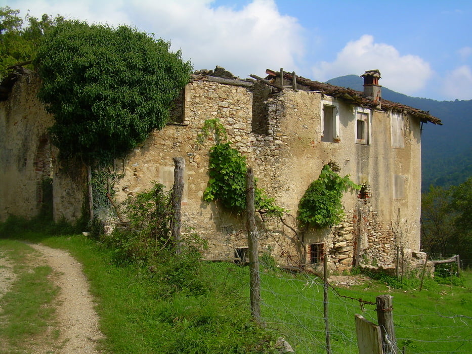
Tour gallery

Tour map and elevation profile
Minimum height 471 m
Maximum height 1050 m
More about the tour author
|
|
Hemmingen |
Comments

Ab Garganole hinauf nach Navazzo(Schilder Richtung Lago di Valestino).
Gute Parkmöglickeiten links vor dem Ortseingang.
GPS tracks
Trackpoints-
GPX / Garmin Map Source (gpx) download
-
TCX / Garmin Training Center® (tcx) download
-
CRS / Garmin Training Center® (crs) download
-
Google Earth (kml) download
-
G7ToWin (g7t) download
-
TTQV (trk) download
-
Overlay (ovl) download
-
Fugawi (txt) download
-
Kompass (DAV) Track (tk) download
-
Track data sheet (pdf) download
-
Original file of the author (gpx) download
More about the tour author
|
|
Hemmingen |
Add to my favorites
Remove from my favorites
Edit tags
Open track
My score
Rate