Login

Forgot your login?

Cookies have to be accepted!
Your browser's cookie functionality is disabled. Please enable this functionality.

Not a member yet?

Register now
Login

Available for registred users only

Log in to use this feature.

Forgot your login?

Cookies have to be accepted!
Your browser's cookie functionality is disabled. Please enable this functionality.

Not a member yet?

Register now
Filter
Categories
Advanced filters
  • Distance (km)
  • Height
Save filters Reset filter

TrackRank

QRCode

Technical data

Distance40,6 km Height241 m Way down245 m Duration03:00 h:m Date22.08.2010
Scores Author Landscape Fun factor Fitness Technique

Statistics

312 Views Scores 56 Downloads Average
Rate
  • Track data sheet
  • Directions
  • Downloads

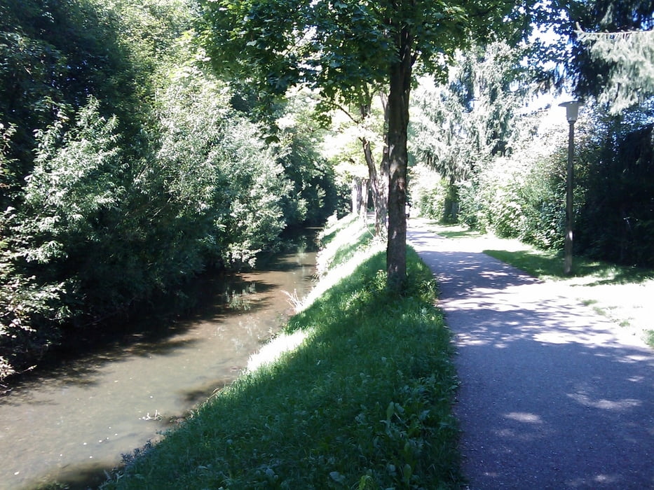
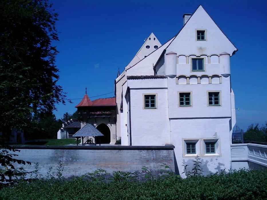
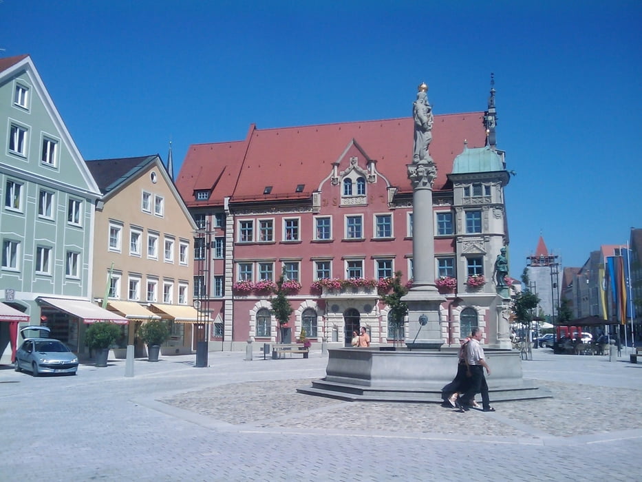
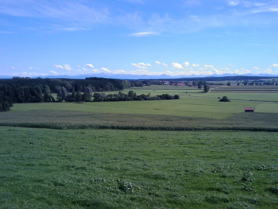
Schöne Tour durch Bad Wörishofen über ruhige Landstraßen und Fahrradwege nach Mindelheim, rauf zur Mindelburg, durch die Stadt zum Skyline Park und zurück zum Flugplatz.

Schöne Biergärten in Hartenthal (Alpenblick), Osterlauchdorf oder Mindelheim (Burg etc.).


Tour gallery

Tour map and elevation profile

  • Open Street Map
  • Google
Minimum height 650 m Maximum height 744 m Detailed view

More about the tour author

mrwaxx
Member since 2008

Send private message

Comments

Mein Startpunkt ist immer der Flugplatz in Bad Wörishofen mit dem Aero-Café. Einfache Parkmöglichkeit mit direkter Streckenanbindung.

GPS tracks

Trackpoints
  • GPX / Garmin Map Source (gpx) download
  • TCX / Garmin Training Center® (tcx) download
  • CRS / Garmin Training Center® (crs) download
  • Google Earth (kml) download
  • G7ToWin (g7t) download
  • TTQV (trk) download
  • Overlay (ovl) download
  • Fugawi (txt) download
  • Kompass (DAV) Track (tk) download
  • Track data sheet (pdf) download
  • Original file of the author (gpx) download

More about the tour author

mrwaxx
Member since 2008

Send private message
Share track
Add to my favorites
Remove from my favorites
Edit tags
My score
Rate
Track: Wörishofen - Mindelheim - Runde
Type: Road biking
Distance: 40,6 km
Evaluated on:
Duration:
Day(s)
Hour(s)
Minute(s)
Score: Landscape Fun factor Fitness Technique