
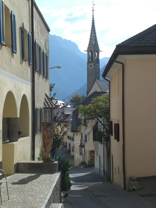

Start der Tour ist Scuol. Wer sich die ersten Höhenmeter sparen möchte kann sich mit dem Postbus nach Sent fahren lassen und dort am Parkplatz starten.
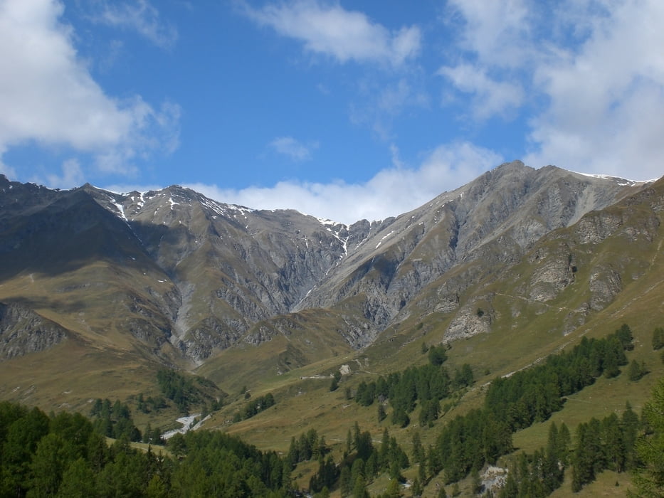
Auf Wirtschaftswegen geht's mit angenehm zu fahrender Steigung durch das Val Sinestra bis ins Val Laver. Am höchsten Punkt der Tour (1979m) kann man sich in der Berggaststätte in Zuort stärken. Nach Vna beginnt der zweite Anstieg der Runde, wieder auf knapp 2000m, aber nicht umsonst...die nächsten 900hm geht's nur bergab.
Ab Seraplana verläuft der Weg entlang des Innradwegs über Sur En zurück nach Scuol.
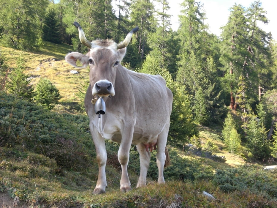
Tour gallery
Tour map and elevation profile
Minimum height 1066 m
Maximum height 1973 m
More about the tour author
|
|
barhudo |
Comments

GPS tracks
Trackpoints-
GPX / Garmin Map Source (gpx) download
-
TCX / Garmin Training Center® (tcx) download
-
CRS / Garmin Training Center® (crs) download
-
Google Earth (kml) download
-
G7ToWin (g7t) download
-
TTQV (trk) download
-
Overlay (ovl) download
-
Fugawi (txt) download
-
Kompass (DAV) Track (tk) download
-
Track data sheet (pdf) download
-
Original file of the author (tcx) download
More about the tour author
|
|
barhudo |
Add to my favorites
Remove from my favorites
Edit tags
Open track
My score
Rate