Login

Forgotten password?

Cookies have to be accepted!
Your browser's cookie functionality is disabled. Please enable this functionality.

Not a member yet?

Register now
Login

Available for registred users only

Log in to use this feature.

Forgotten password?

Cookies have to be accepted!
Your browser's cookie functionality is disabled. Please enable this functionality.

Not a member yet?

Register now
Filter
Categories
Advanced filters
  • Distance (km)
  • Height
Save filters Reset filter

TrackRank

QRCode

Technical data

Distance29,1 km Height2461 m Way down2445 m Duration2 days 0 h Date23.08.2010
Scores Author Landscape Fun factor Fitness Technique

Statistics

830 Views Scores 51 Downloads Average
Rate
  • Track data sheet
  • Directions
  • Downloads

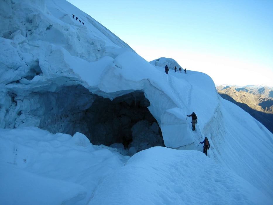
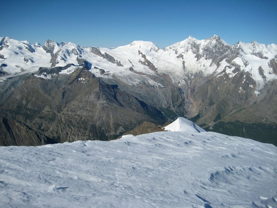
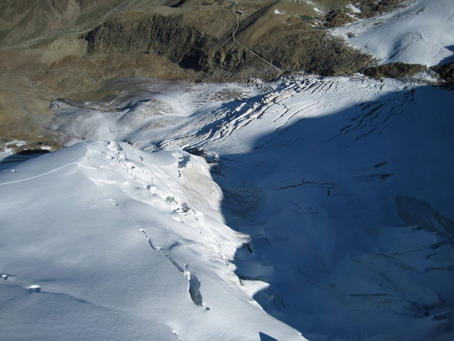
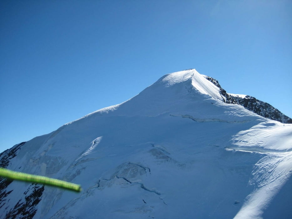
Von Saas Grund über einen schönen Wanderweg auf die Weissmieshütte, dort dann Abendessen und Übernachtung. Am nächsten Tag auf dem Normalweg über Hochsaas auf den Gipfel der Weissmies. Nach ausgiebiger Rast Start mit dem Gleitschirm unterhalb des Gipfels und Flug nach Saas Grund.

Tour gallery

Tour map and elevation profile

  • Open Street Map
  • Google
Minimum height 1570 m Maximum height 4030 m Detailed view

More about the tour author

alpinflyer
Member since 2010

Send private message

Comments

GPS tracks

Trackpoints
  • GPX / Garmin Map Source (gpx) download
  • TCX / Garmin Training Center® (tcx) download
  • CRS / Garmin Training Center® (crs) download
  • Google Earth (kml) download
  • G7ToWin (g7t) download
  • TTQV (trk) download
  • Overlay (ovl) download
  • Fugawi (txt) download
  • Kompass (DAV) Track (tk) download
  • Track data sheet (pdf) download
  • Original file of the author (gpx) download

More about the tour author

alpinflyer
Member since 2010

Send private message
Share track
Add to my favorites
Remove from my favorites
Edit tags
My score
Rate
Track: Weissmies
Type: Mountain hiking
Distance: 29,1 km
Evaluated on:
Duration:
Day(s)
Hour(s)
Minute(s)
Score: Landscape Fun factor Fitness Technique