


Date: July 26, 2010
Start: 1674 m (mountain station of Dachstein Südwandbahn / Gletscherbahn)
Finish: 1674 m (mountain station of Dachstein Südwandbahn / Gletscherbahn)
Highest point: 2033 m (Tor)
Lowest point: 1380 m
Total ascent: 900 m
Total descent: 900 m
Information about the Dachstein Südwandbahn:
http://www.derdachstein.at
GPX file is modified, because GPS reception between Südwandhütte and Tor was extremely bad.
**************************
Do not take anything, do not leave anything!
**************************
Please, do NOT leave trash behind. Paper tissues are also trash! Chocolate wrap as well. Bring a small trash bag with you and take your trash with yourself to the next trash can. It is not that heavy.
**************************
Further information at
http://www.beepee.hu/v/ausztria2010/dachstein/tor/Tour gallery

Tour map and elevation profile
Minimum height 1379 m
Maximum height 2029 m
More about the tour author
|
|
beepee |
Comments

Places where you can eat and drink:
Dachstein Südwandbahn station: Gasthof Hungerkogel
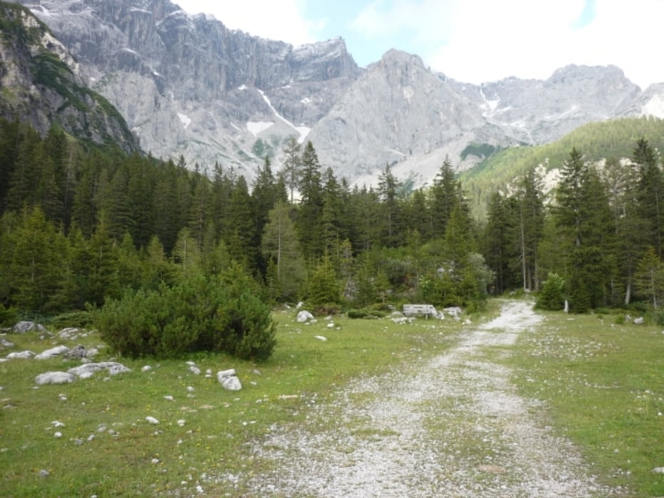
Südwandhütte
Bachlalm
Route:
1. lower station of Dachstein Südwandbahn
2. follow signs (on the right side of the cable car building) towards Südwandhütte
3. after Südwandhütte, follow signs towards Tor / Bachlalm
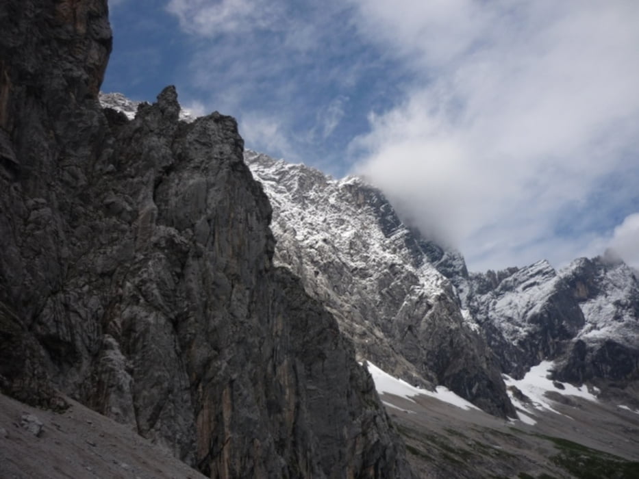
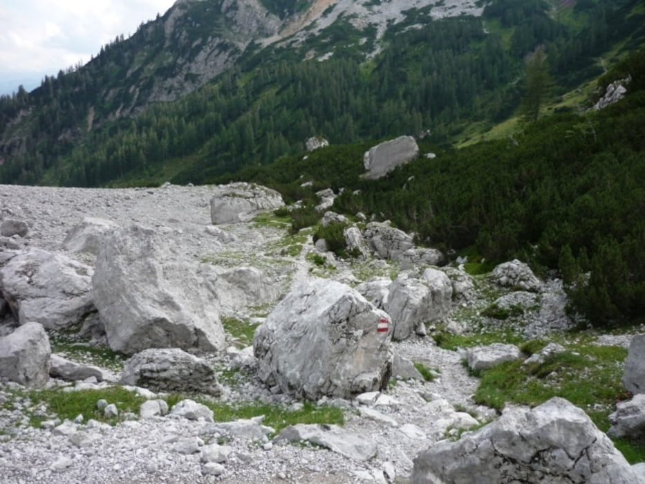
4. walk right under Dachstein rocks towards Tor - it gets quite steep before reaching Tor
5. follow signs towards Bachlalm
6. before you reach Bachlalm, turn left on the road, follow signs towards Austriahütte
7. when you reach the paved road that leads cars to the cable car, follow signs towards Walcheralm Gletscherbahn
8. walk under the ski lift, then walk up to the paved road next to Hotel Dachstein
9. walk up to the cable car parking area
**************************
Do not take anything, do not leave anything!
**************************
Please, do NOT leave trash behind. Paper tissues are also trash! Chocolate wrap as well. Bring a small trash bag with you and take your trash with yourself to the next trash can. It is not that heavy.
**************************
GPS tracks
Trackpoints-
GPX / Garmin Map Source (gpx) download
-
TCX / Garmin Training Center® (tcx) download
-
CRS / Garmin Training Center® (crs) download
-
Google Earth (kml) download
-
G7ToWin (g7t) download
-
TTQV (trk) download
-
Overlay (ovl) download
-
Fugawi (txt) download
-
Kompass (DAV) Track (tk) download
-
Track data sheet (pdf) download
-
Original file of the author (gpx) download
More about the tour author
|
|
beepee |
Add to my favorites
Remove from my favorites
Edit tags
Open track
My score
Rate