


Date: July 28, 2010
Start: 1080 m (Filzmoos village)
Finish: 1080 m (Filzmoos village)
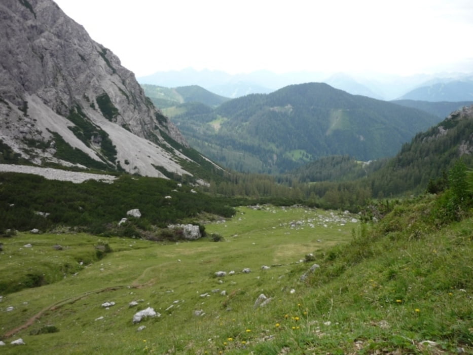
Highest point: 1815 m
Lowest point: 1060 m
Total ascent: 847 m
Total descent: 847 m
Further information at
http://www.beepee.hu/v/ausztria2010/dachstein/filzmoos/Tour gallery

Tour map and elevation profile
Minimum height 858 m
Maximum height 1819 m
More about the tour author
|
|
beepee |
Comments

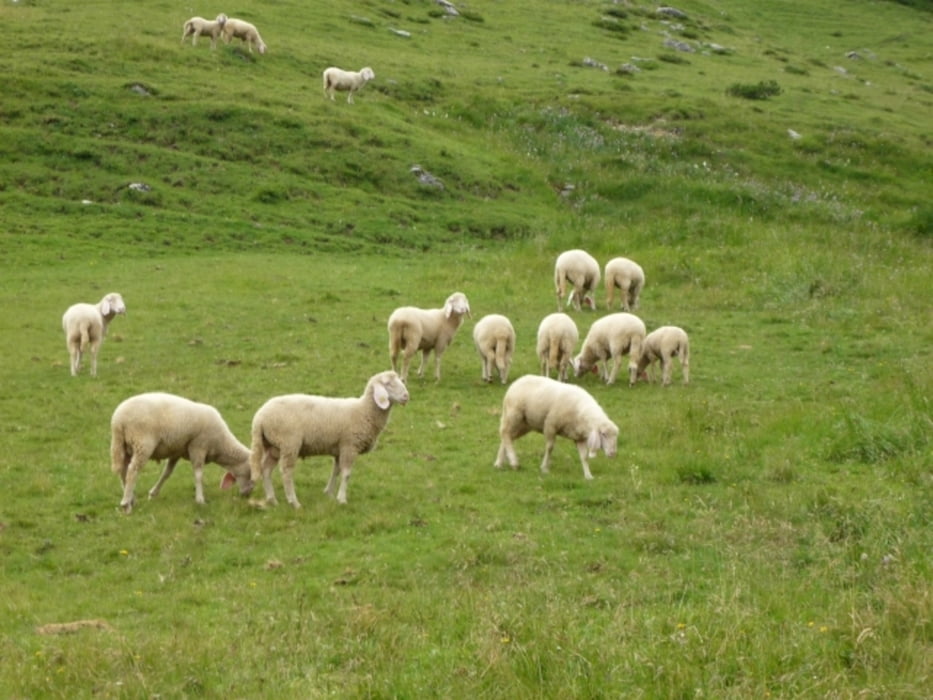
Places where you can eat and drink:
Bachlalm
Wallehenhütte
Route:
1. parking place next to toll road booth - northern side of the village
2. walk into the village, then at the corner of Intersport / Haus Edelweiss, turn left
3. follow signs towards Filzwiesen / Bachlalm
4. after Bachlalm, follow signs towards Sulzenhals / Wallehenhütte / Reitalm
5. you can take several routes down to the village via the 'Alm area'
GPS tracks
Trackpoints-
GPX / Garmin Map Source (gpx) download
-
TCX / Garmin Training Center® (tcx) download
-
CRS / Garmin Training Center® (crs) download
-
Google Earth (kml) download
-
G7ToWin (g7t) download
-
TTQV (trk) download
-
Overlay (ovl) download
-
Fugawi (txt) download
-
Kompass (DAV) Track (tk) download
-
Track data sheet (pdf) download
-
Original file of the author (gpx) download
More about the tour author
|
|
beepee |
Add to my favorites
Remove from my favorites
Edit tags
Open track
My score
Rate