

Date: July 29, 2010
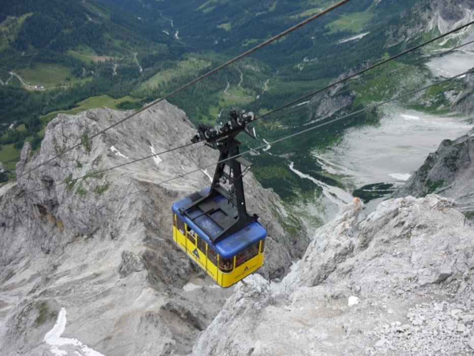
Start: 2686 m (Dachstein Südwandbahn mountain station)
Finish: 2686 m (Dachstein Südwandbahn mountain station)
Highest point: 2736 m (Seethalerhütte)
Lowest point: 2625 m
Total ascent: 175 m
Total descent: 175 m
Information about the Dachstein Südwandbahn:
http://www.derdachstein.at
Waterproof and non slippery shoes recommended!
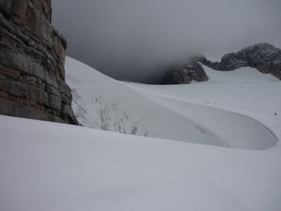
Weather can change very quickly. We had sunshine first, then after 30 minutes, a heavy snowstorm.
Further information at
http://www.beepee.hu/v/ausztria2010/dachstein/gleccser/Tour gallery


Tour map and elevation profile
Minimum height 2624 m
Maximum height 2738 m
More about the tour author
|
|
beepee |
Comments

Places where you can eat and drink:
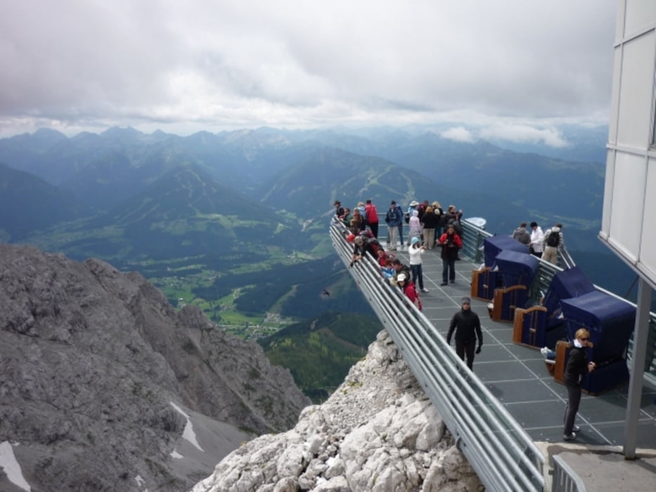
Hunerkogel panorama restaurant
Seethalerhütte
Route:
1. mountain station of Dachstein Südwandbahn
2. follow signs towards Seethalerhütte
Take the same route back.
Do not leave the marked trail!!!
GPS tracks
Trackpoints-
GPX / Garmin Map Source (gpx) download
-
TCX / Garmin Training Center® (tcx) download
-
CRS / Garmin Training Center® (crs) download
-
Google Earth (kml) download
-
G7ToWin (g7t) download
-
TTQV (trk) download
-
Overlay (ovl) download
-
Fugawi (txt) download
-
Kompass (DAV) Track (tk) download
-
Track data sheet (pdf) download
-
Original file of the author (gpx) download
More about the tour author
|
|
beepee |
Add to my favorites
Remove from my favorites
Edit tags
Open track
My score
Rate