


Kärnten hat noch ein wenig Schnee.
Die Sonnseiten sind „trocken“ so dass man nicht glauben mag, dass man auf bestimmten Touren noch gehen kann.
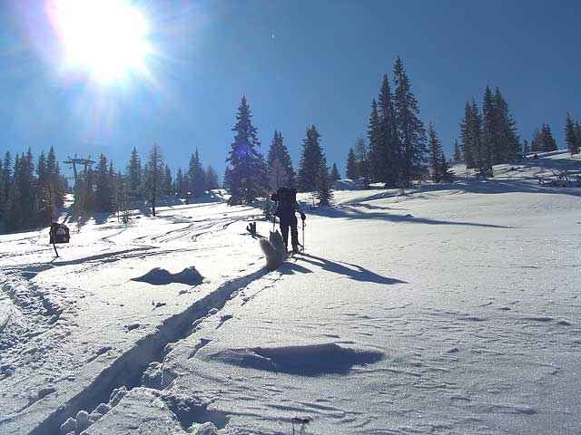
Touren sind nur dort möglich wo auch präpariert wird.
Ein alternative Tour zum Dobratsch oder auch Gerlitze = Verditz
Kurz nach dem Parkplatz (Sporthotel Mirnock)führt ein Weg in den Wald – über diesen kann man den ersten Steilhang der Piste umgehen.
Der weitere Weg führt der Piste entlang zum Gipfel.
Neben der Piste nach ca 2/3 Weg - ist der Pfad durch den Wald zur Schwarzseehütte markiert.
(Diese ist an Wochenenden geöffnet).
Durch diesen Weg (manchmal auch Gegenverkehr) kommt man zur Schwarzseehütte.
Alternativ kann man auf dem Weg dann auch zum Gipfel abzweigen.
Alles in allem eine feine Tour.
Viel Spaß beim Touren.
LG
Werner
Die Sonnseiten sind „trocken“ so dass man nicht glauben mag, dass man auf bestimmten Touren noch gehen kann.
Touren sind nur dort möglich wo auch präpariert wird.
Ein alternative Tour zum Dobratsch oder auch Gerlitze = Verditz
Kurz nach dem Parkplatz (Sporthotel Mirnock)führt ein Weg in den Wald – über diesen kann man den ersten Steilhang der Piste umgehen.
Der weitere Weg führt der Piste entlang zum Gipfel.
Neben der Piste nach ca 2/3 Weg - ist der Pfad durch den Wald zur Schwarzseehütte markiert.
(Diese ist an Wochenenden geöffnet).
Durch diesen Weg (manchmal auch Gegenverkehr) kommt man zur Schwarzseehütte.
Alternativ kann man auf dem Weg dann auch zum Gipfel abzweigen.
Alles in allem eine feine Tour.
Viel Spaß beim Touren.
LG
Werner
Further information at
http://www.mirnock.at/Tour gallery
Tour map and elevation profile
Minimum height 699 m
Maximum height 1847 m
More about the tour author
|
|
Wernerxo |
Comments

Von Villach nach Arriach ( Feld/See) - der Ausgangspunkt ist Verditz beim Gasthaus – Sporthotel Mirnock - Parkplatz NACH dem Sessellift der Mirnockbahn.
Beim Gasthaus ist Ausgangspunkt der Tour.
Beim Gasthaus ist Ausgangspunkt der Tour.
GPS tracks
Trackpoints-
GPX / Garmin Map Source (gpx) download
-
TCX / Garmin Training Center® (tcx) download
-
CRS / Garmin Training Center® (crs) download
-
Google Earth (kml) download
-
G7ToWin (g7t) download
-
TTQV (trk) download
-
Overlay (ovl) download
-
Fugawi (txt) download
-
Kompass (DAV) Track (tk) download
-
Track data sheet (pdf) download
-
Original file of the author (gpx) download
More about the tour author
|
|
Wernerxo |
Add to my favorites
Remove from my favorites
Edit tags
Open track
My score
Rate