


man findet den Weg auf den Dobratsch auch ohne GPS ;-)
die Abfahrt wird auch präpariert ist somit auch für Einsteiger interessant.
Die heutige Tour führt zum Zehnernock – früher die Bergstation der Dobratsch-Liftanlagen.
Man kann auf verschiedenen Wegen Richtung Zehnernock.
Natürlich kann man auch bis zum Ludwig WalterHaus aufsteigen, allerdings ist die Abfahrt wenig spektakulär, auf einem stark frequentierten Gehweg
Retour geht’s dann über die „alten Pisten“ der Dobratsch Liftanlagen.
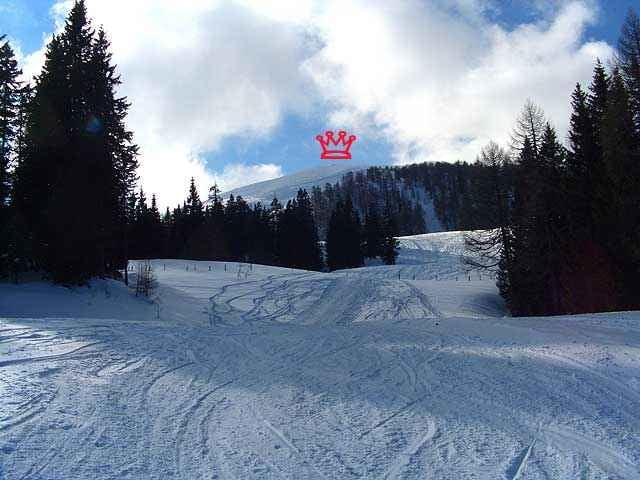
Während dem Aufstieg hat man immer wieder perfekte Ausblicke ins Tal – nach Villach und ins Drautal.
Am Zehnernock sieht man dann auch Richtung Arnoldstein und nach Italien.
Viel Spaß beim Touren -
LG
Werner
die Abfahrt wird auch präpariert ist somit auch für Einsteiger interessant.
Die heutige Tour führt zum Zehnernock – früher die Bergstation der Dobratsch-Liftanlagen.
Man kann auf verschiedenen Wegen Richtung Zehnernock.
Natürlich kann man auch bis zum Ludwig WalterHaus aufsteigen, allerdings ist die Abfahrt wenig spektakulär, auf einem stark frequentierten Gehweg
Retour geht’s dann über die „alten Pisten“ der Dobratsch Liftanlagen.
Während dem Aufstieg hat man immer wieder perfekte Ausblicke ins Tal – nach Villach und ins Drautal.
Am Zehnernock sieht man dann auch Richtung Arnoldstein und nach Italien.
Viel Spaß beim Touren -
LG
Werner
Further information at
http://www.naturparkdobratsch.info/npneu/testframe.htmlTour gallery
Tour map and elevation profile
Minimum height 906 m
Maximum height 1965 m
More about the tour author
|
|
Wernerxo |
Comments

Anfahrt von Villach Richtung - Kurort Bleiberg – in Heiligengeist (Wegweiser zu den Liftanlagen ) ist Startpunkt.
GPS tracks
Trackpoints-
GPX / Garmin Map Source (gpx) download
-
TCX / Garmin Training Center® (tcx) download
-
CRS / Garmin Training Center® (crs) download
-
Google Earth (kml) download
-
G7ToWin (g7t) download
-
TTQV (trk) download
-
Overlay (ovl) download
-
Fugawi (txt) download
-
Kompass (DAV) Track (tk) download
-
Track data sheet (pdf) download
-
Original file of the author (gpx) download
More about the tour author
|
|
Wernerxo |
Add to my favorites
Remove from my favorites
Edit tags
Open track
My score
Rate