


Date: August 1, 2010
Start: 1640 m (Gradental parking area)
Finish: 1640 m (Gradental parking area)
Highest point: 2500 m (shortly after Adolf Nossberger Hütte)
Lowest point: 1640 m
Total ascent: 860 m
Total descent: 860 m
http://www.tauernalpin-touren.at/bergwandern-und-gipfelwandern/top-10-wandertipps/gradental.html
Our similar but shorter tour from last year (Gradental - Vordersee): /en/tracks/detail.48218.html
Further information at
http://www.beepee.hu/v/ausztria2010/heiligenblut/gradental/Tour gallery
Tour map and elevation profile
Minimum height 1639 m
Maximum height 2499 m
More about the tour author
|
|
beepee |
Comments

Places where you can eat and drink:
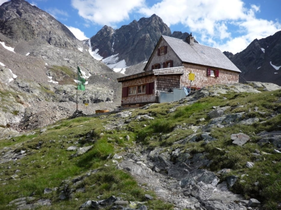
Adolf Nossberger Hütte
Route:
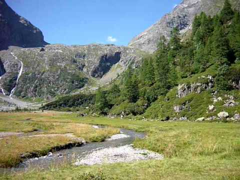
1. Gradental parking area
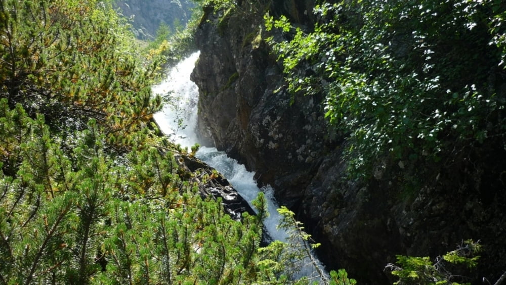
2. follow the dirt road next to the creek
3. as you reach Naturlehrweg Gradental sign, walk under it - into the forest
4. follow the marked trail in the forest, leading up
5. cross the creek, go through the gate, and soon you will reach Gradenmoos
6. in Gradenmoos, keep right, walk around the 'Moos' on its right side
7. after crossing the creek, soon you will find a trail marking, that shows the way towards Adolf Nossberger Hütte
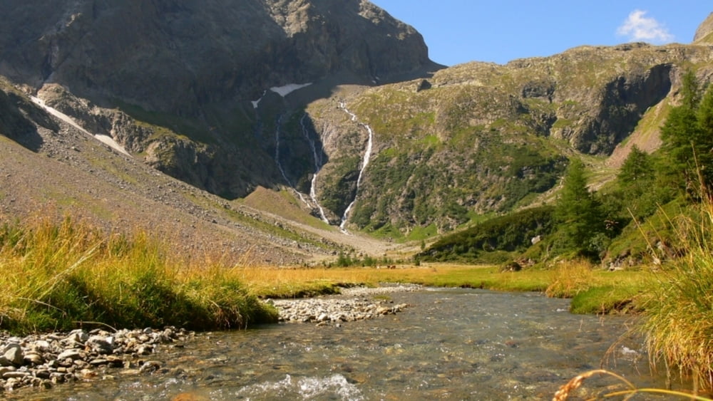
8. on the way up, the longer trail via Vordersee is recommended (no.816)
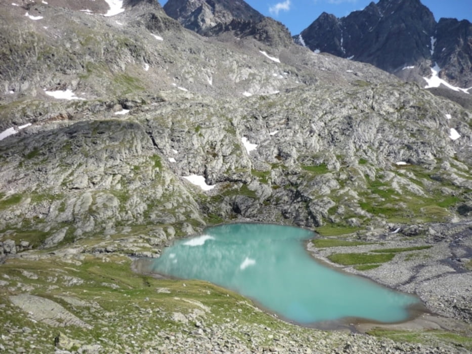
9. after a quite steep walk (560 m ascent in 2 km) you will reach Vordersee
10. walk past Vordersee, then past Mittersee, and you will see the Hütte already
11. reach the Hütte that is built next to Gradensee
On the way back, you can take the same route, or you can go (as we did) via Tierleitenweg (no.818) by Schwartze Lacke (another beautiful lake). This trail is a bit harder as it has some very steep and narrow areas with fixed ropes. Not recommended for people with a fear of hights.
Make sure to bring plenty of water!!!
GPS tracks
Trackpoints-
GPX / Garmin Map Source (gpx) download
-
TCX / Garmin Training Center® (tcx) download
-
CRS / Garmin Training Center® (crs) download
-
Google Earth (kml) download
-
G7ToWin (g7t) download
-
TTQV (trk) download
-
Overlay (ovl) download
-
Fugawi (txt) download
-
Kompass (DAV) Track (tk) download
-
Track data sheet (pdf) download
-
Original file of the author (gpx) download
More about the tour author
|
|
beepee |
Add to my favorites
Remove from my favorites
Edit tags
Open track
My score
Rate