


Date: August 2, 2010
Start: 2350 m (Kaiser Franz Josefs Höhe)
Finish: 2350 m (Kaiser Franz Josefs Höhe)
Highest point: 2591 m (shortly after the end of Gamsgrubenweg)
Lowest point: 2350 m (Kaiser Franz Josefs Höhe)
Total ascent: 241 m
Total descent: 241 m
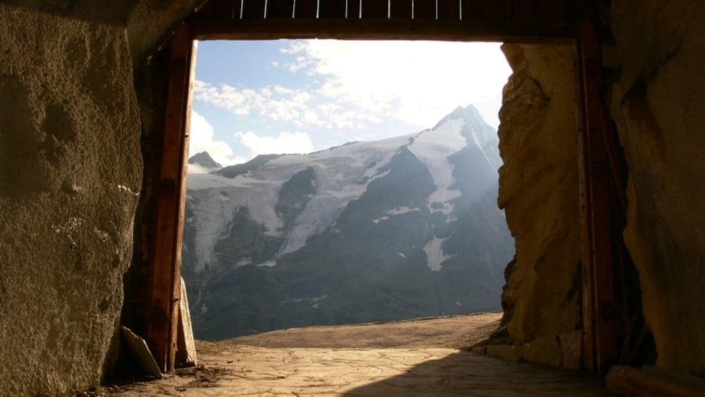
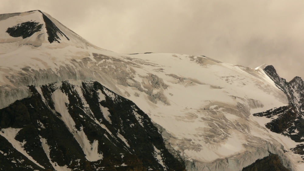
Beautiful views of Grossglockner, Pasterze glacier and the surrounding mountains!!
Further information at
http://www.beepee.hu/v/ausztria2010/heiligenblut/pasterze/Tour gallery

Tour map and elevation profile
Minimum height 2342 m
Maximum height 2595 m
More about the tour author
|
|
beepee |
Comments

Places where you can eat and drink:
Kaiser Franz Josefs Höhe
Route:
1. at Kaiser Franz Josefs Höhe - go to the very far end of the structure
2. walk into the tunnel marked as 'Gamsgrubenweg'
3. walk throught 6 tunnels (built because of the high risk of falling rock)
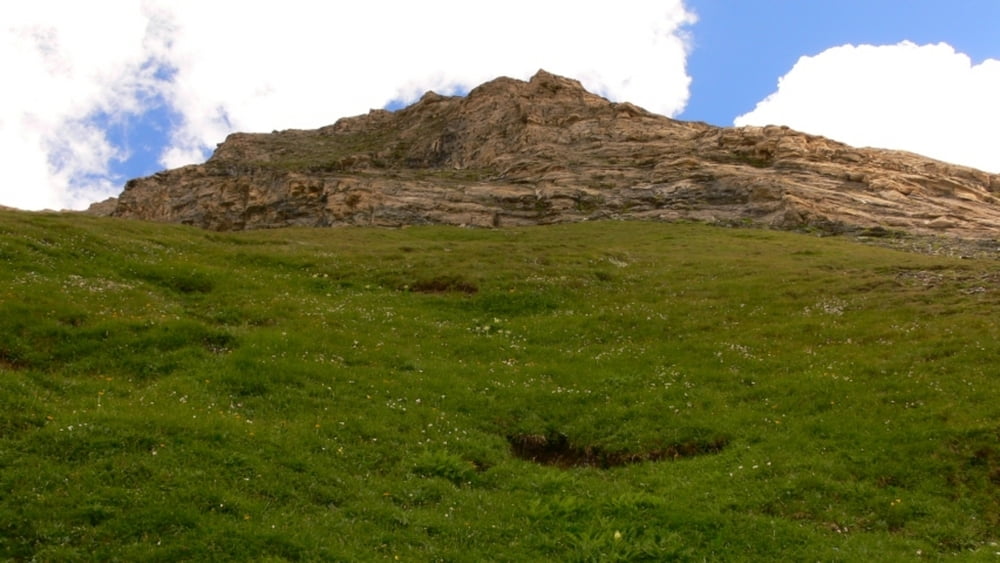
4. walk on the trail until the end of Gamsgrubenweg - there is a rest area and a beutiful creek-waterfall
5. you can continue walking up towards Oberwalderhütte and the glacier next to it, however the trail becomes steeper here, and if you want to reach the Hut, you must walk on the glacier as well.
Take the same route back.
We turned back around halfway between end of Gamsgrubenweeg and the glacier.
Do not leave the marked trail, and please, do not pick the flowers!!!
GPS tracks
Trackpoints-
GPX / Garmin Map Source (gpx) download
-
TCX / Garmin Training Center® (tcx) download
-
CRS / Garmin Training Center® (crs) download
-
Google Earth (kml) download
-
G7ToWin (g7t) download
-
TTQV (trk) download
-
Overlay (ovl) download
-
Fugawi (txt) download
-
Kompass (DAV) Track (tk) download
-
Track data sheet (pdf) download
-
Original file of the author (gpx) download
More about the tour author
|
|
beepee |
Add to my favorites
Remove from my favorites
Edit tags
Open track
My score
Rate