


Inspiriert Durch das MountainBike Magazin 06/2010 haben wir uns auf den Weg von Garmisch nach Berchtesgaden gemacht.
1.Etappe: Ins Herz des Wettersteins, Ziel: Reintalangerhütte
2.Etappe: Durch den Karwendel, Ziel: Plumsjochhütte
3.Etappe: Über die Blauberge zum Inn, Ziel: Oberaudorf
4.Etappe: Durchs Chiemgau, Ziel: Hochgernhaus
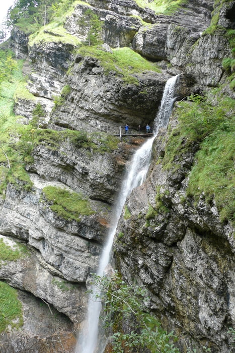
5.Etappe: Ruhpolding und Staubfall, Ziel: Unken in Heutal
6.Etappe: Ins Berchtesgadener Land, Ziel: Gotzenalm
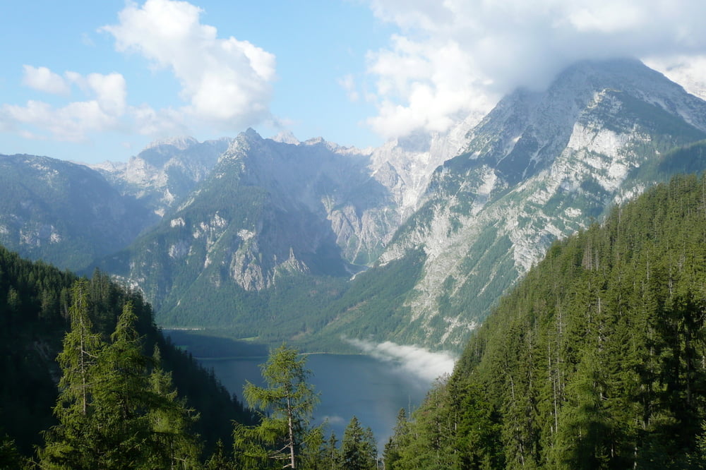
7.Etappe: Königsee und Watzmann, Ziel: Berchtesgaden
Eine wunderschöne Tour durch märchenhafte Landschaften. Es muss nicht immer der Gardasee das Ziel einer Transalp sein.
Ich wünsche Euch viel Spaß beim nachfahren.
Tour gallery
Tour map and elevation profile
Minimum height 472 m
Maximum height 1793 m
More about the tour author
|
|
Captain |
Comments

Am besten mit der Bahn oder dem Auto nach Garmisch und nach der Tour ab Berchtesgaden mit der Bahn zurück.
GPS tracks
Trackpoints-
GPX / Garmin Map Source (gpx) download
-
TCX / Garmin Training Center® (tcx) download
-
CRS / Garmin Training Center® (crs) download
-
Google Earth (kml) download
-
G7ToWin (g7t) download
-
TTQV (trk) download
-
Overlay (ovl) download
-
Fugawi (txt) download
-
Kompass (DAV) Track (tk) download
-
Track data sheet (pdf) download
-
Original file of the author (gpx) download
More about the tour author
|
|
Captain |
Add to my favorites
Remove from my favorites
Edit tags
Open track
My score
Rate