


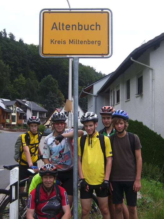
Zwei Tagestour mit 12 - 15 jährigen Jugendlichen durch den Spessart. Von Külsheim über Wald-, Teer-, Wiesenwege nach Altenbuch. Auch sind wie ein kleines Stück über den Eselsweg gefahren. Am zweiten Tag von Altenbuch über Hasselberg, Schollbrunn, Eselbach nach Hafenlohr. Von Hafenlohr über den Maintalradweg bis Urphar. Ab Urphar über die letzten zwei Anstiege nach Külsheim. Resümee der Teilnehmer; Anstengend aber Super
Tour gallery


Tour map and elevation profile
Minimum height 134 m
Maximum height 464 m
More about the tour author
|
|
Wellblech |
Comments

GPS tracks
Trackpoints-
GPX / Garmin Map Source (gpx) download
-
TCX / Garmin Training Center® (tcx) download
-
CRS / Garmin Training Center® (crs) download
-
Google Earth (kml) download
-
G7ToWin (g7t) download
-
TTQV (trk) download
-
Overlay (ovl) download
-
Fugawi (txt) download
-
Kompass (DAV) Track (tk) download
-
Track data sheet (pdf) download
-
Original file of the author (gpx) download
More about the tour author
|
|
Wellblech |
Add to my favorites
Remove from my favorites
Edit tags
Open track
My score
Rate