Login

Forgotten password?

Cookies have to be accepted!
Your browser's cookie functionality is disabled. Please enable this functionality.

Not a member yet?

Register now
Login

Available for registred users only

Log in to use this feature.

Forgotten password?

Cookies have to be accepted!
Your browser's cookie functionality is disabled. Please enable this functionality.

Not a member yet?

Register now
Filter
Categories
Advanced filters
  • Distance (km)
  • Height
Save filters Reset filter

TrackRank

QRCode

Technical data

Distance29,7 km Height1003 m Way down1731 m Duration05:30 h:m Date29.08.2010
Scores Author Landscape Fun factor Fitness Technique

Statistics

448 Views Scores 50 Downloads Average
Rate
  • Track data sheet
  • Directions
  • Downloads

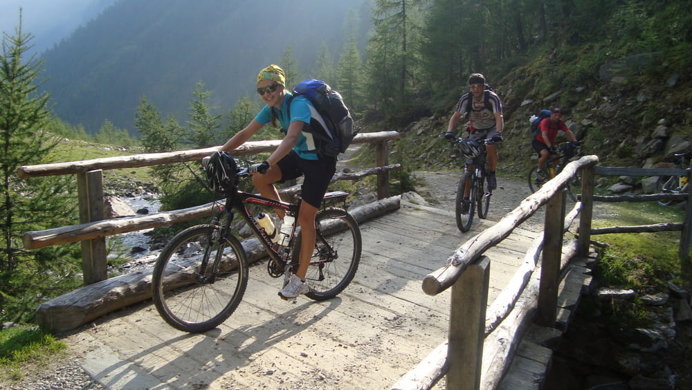
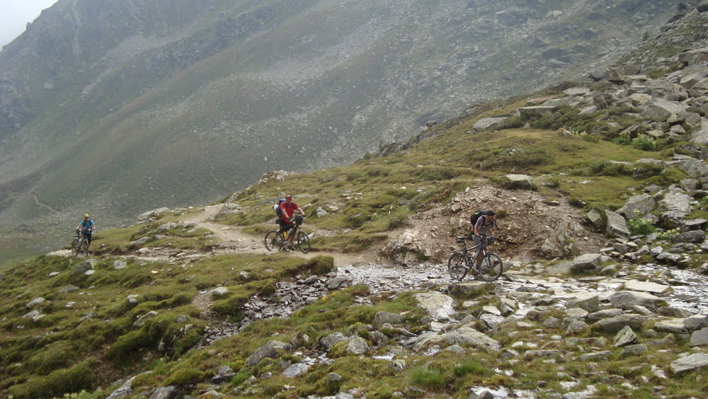
Sehr schöne Anfahrt über Forststrassen zum Rabbijoch. ca. 1Stunde schieben.


mehr Bilder:    seppdepp.heim.at


Tour gallery

Tour map and elevation profile

  • Open Street Map
  • Google
Minimum height 739 m Maximum height 2463 m Detailed view

More about the tour author

Atzbach
Member since 2009

Send private message

Comments

GPS tracks

Trackpoints
  • GPX / Garmin Map Source (gpx) download
  • TCX / Garmin Training Center® (tcx) download
  • CRS / Garmin Training Center® (crs) download
  • Google Earth (kml) download
  • G7ToWin (g7t) download
  • TTQV (trk) download
  • Overlay (ovl) download
  • Fugawi (txt) download
  • Kompass (DAV) Track (tk) download
  • Track data sheet (pdf) download
  • Original file of the author (gpx) download

More about the tour author

Atzbach
Member since 2009

Send private message
Share track
Add to my favorites
Remove from my favorites
Edit tags
My score
Rate
Track: St.Gertraud - Male Tag 4
Type: Transalp
Distance: 29,7 km
Evaluated on:
Duration:
Day(s)
Hour(s)
Minute(s)
Score: Landscape Fun factor Fitness Technique