Login

Forgot your login?

Cookies have to be accepted!
Your browser's cookie functionality is disabled. Please enable this functionality.

Not a member yet?

Register now
Login

Available for registred users only

Log in to use this feature.

Forgot your login?

Cookies have to be accepted!
Your browser's cookie functionality is disabled. Please enable this functionality.

Not a member yet?

Register now
Filter
Categories
Advanced filters
  • Distance (km)
  • Height
Save filters Reset filter

TrackRank

QRCode

Technical data

Distance56,9 km Height1316 m Way down953 m Duration04:40 h:m Date29.08.2010
Scores Author Landscape Fun factor Fitness Technique

Statistics

1015 Views Scores 232 Downloads Average
Rate
  • Track data sheet
  • Directions
  • Downloads


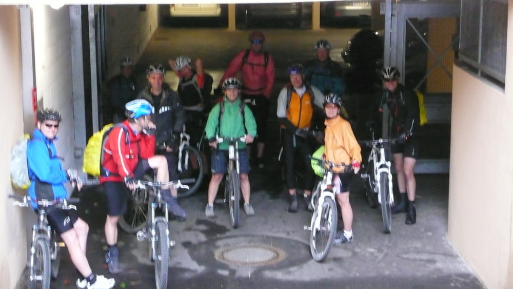
Wetter: ganzer Tag Dauerregen

Strecke: Meran-Gampenpass-Unsere liebe Frau im Walde-Cles

Mittagessen: Hütte am Ende von Gampenpass

Übernachtung: Cles, Hotel Albergo (gut)

Anmerkung: Sind wegen dem Dauerregen den schnellsten Weg gefahren. Nach Varianten schauen, da wir wegen Regen nur Straße gefahren sind. Gampenpass über Trails soll möglich, aber anstrengend sein.

Fortsetzung: Tour #66264: Alpencross Garmisch-Riva, Tag 5

Tour map and elevation profile

  • Open Street Map
  • Google
Minimum height 296 m Maximum height 1548 m Detailed view

More about the tour author

Rotwild-Ritter
Member since 2008

Send private message

Comments

GPS tracks

Trackpoints
  • GPX / Garmin Map Source (gpx) download
  • TCX / Garmin Training Center® (tcx) download
  • CRS / Garmin Training Center® (crs) download
  • Google Earth (kml) download
  • G7ToWin (g7t) download
  • TTQV (trk) download
  • Overlay (ovl) download
  • Fugawi (txt) download
  • Kompass (DAV) Track (tk) download
  • Track data sheet (pdf) download
  • Original file of the author (tcx) download

More about the tour author

Rotwild-Ritter
Member since 2008

Send private message
Share track
Add to my favorites
Remove from my favorites
Edit tags
My score
Rate
Track: Alpencross Garmisch-Riva, Tag 4
Type: Mountain bike
Distance: 56,9 km
Evaluated on:
Duration:
Day(s)
Hour(s)
Minute(s)
Score: Landscape Fun factor Fitness Technique