


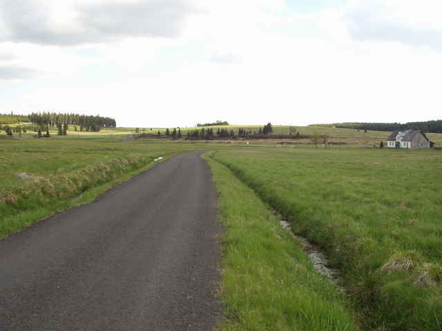
Trasa vedená převážně po asfaltu asi 2Km lesní cesta. Doporučuji se zastavit v Rájeckém údolí u portrétů pánů Schillera a Bethovena.
Pozor! trasa je průjezdná až tak v dubnu, já jí jel koncem února a na silnici bylo plno sněhu (Rájecké údolí)
Pozor! trasa je průjezdná až tak v dubnu, já jí jel koncem února a na silnici bylo plno sněhu (Rájecké údolí)
Tour gallery
Tour map and elevation profile
Minimum height 507 m
Maximum height 909 m
More about the tour author

|
Comments

Start je v Lubech a po úpravách trasy kdekoli.
GPS tracks
Trackpoints-
GPX / Garmin Map Source (gpx) download
-
TCX / Garmin Training Center® (tcx) download
-
CRS / Garmin Training Center® (crs) download
-
Google Earth (kml) download
-
G7ToWin (g7t) download
-
TTQV (trk) download
-
Overlay (ovl) download
-
Fugawi (txt) download
-
Kompass (DAV) Track (tk) download
-
Track data sheet (pdf) download
-
Original file of the author (gpx) download
More about the tour author
|
|
Add to my favorites
Remove from my favorites
Edit tags
Open track
My score
Rate