


Hauptaugenmerk, wie alle meine Touren - vermeide Asphalt wo es nur geht...
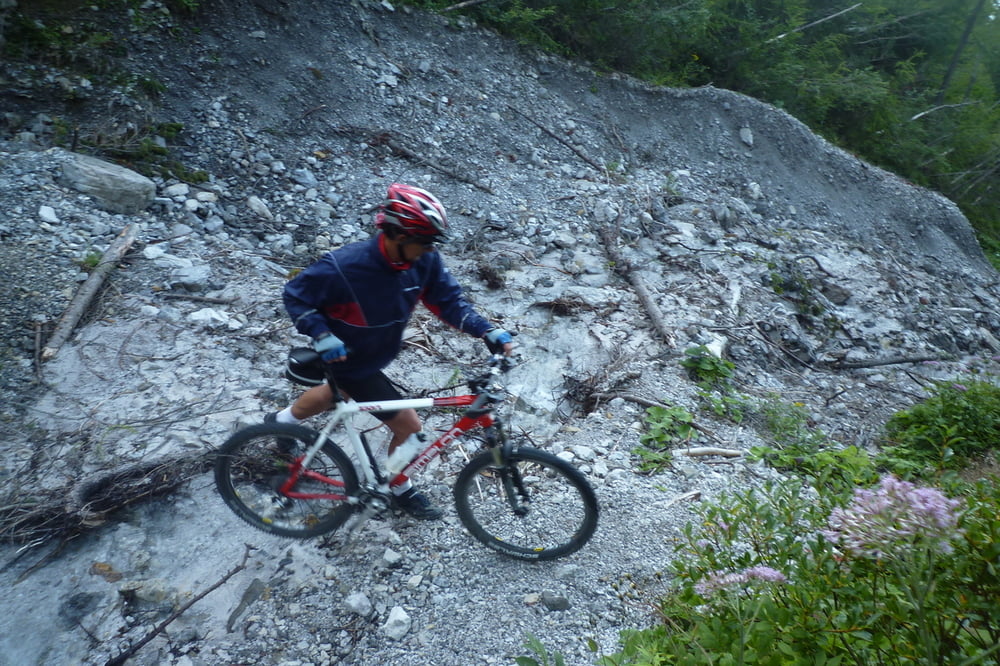
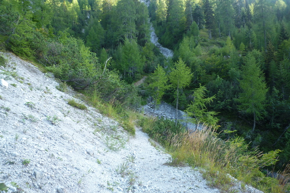
Die Tour führt über Tschinowitsch nach Müllnern - Susalitsch - hinauf zur Pridouhütte. Dann weiter auf dem Weitwanderweg Nr. 3 in Richtung Goritschacher Alm. Der Weg führt nicht durchgehend dorthin, sondern ist von einem kurzen Steig unterbrochen. Gewisse Trittsicherheit ist hier notwendig.
Die Tour bietet herrliche Aussichten, auf Faaker See und Villach mit Umgebung. Sehr zu umpfehlen, aber nicht ganz kurz.
Die Aufzeichnung hatte leider Aussetzer. Ich habe die Route bei den dementsprechenden Teilen nachgezeichnet. Sollte so funktionieren.
Tour gallery
Tour map and elevation profile
Minimum height 502 m
Maximum height 1517 m
More about the tour author
|
|
johnatan |
Comments

Villach - Stadt
Die Tour beginnt an der Gailbrücke bei der Infineon (gegenüber Tschinowitsch), beim Autohaus Sintschnig.
GPS tracks
Trackpoints-
GPX / Garmin Map Source (gpx) download
-
TCX / Garmin Training Center® (tcx) download
-
CRS / Garmin Training Center® (crs) download
-
Google Earth (kml) download
-
G7ToWin (g7t) download
-
TTQV (trk) download
-
Overlay (ovl) download
-
Fugawi (txt) download
-
Kompass (DAV) Track (tk) download
-
Track data sheet (pdf) download
-
Original file of the author (gpx) download
More about the tour author
|
|
johnatan |
Add to my favorites
Remove from my favorites
Edit tags
Open track
My score
Rate