Login

Forgot your login?

Cookies have to be accepted!
Your browser's cookie functionality is disabled. Please enable this functionality.

Not a member yet?

Register now
Login

Available for registred users only

Log in to use this feature.

Forgot your login?

Cookies have to be accepted!
Your browser's cookie functionality is disabled. Please enable this functionality.

Not a member yet?

Register now
Filter
Categories
Advanced filters
  • Distance (km)
  • Height
Save filters Reset filter

TrackRank

QRCode

Technical data

Distance12,7 km Height351 m Way down334 m Duration00:00 h:m Date04.09.2010
Scores Author User Landscape Fun factor Fitness Technique

Statistics

857 Views 1 Score 138 Downloads 5.00 Average
Rate
  • Track data sheet
  • Directions
  • Downloads

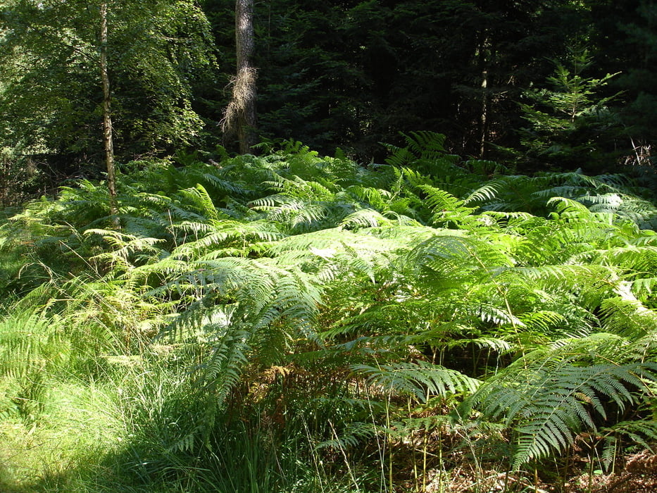
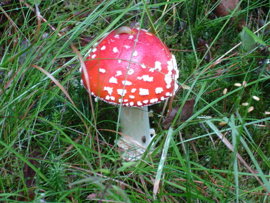
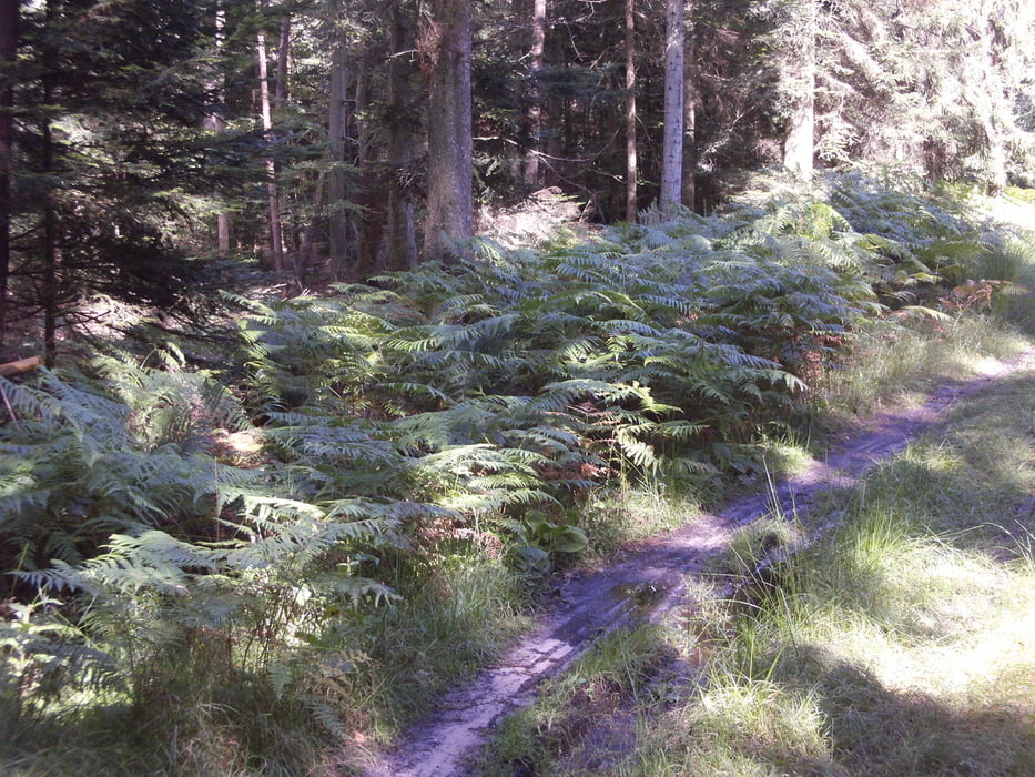
Eine wunderbare Rundwanderung durch den Pfälzer Wald. Ein großer Teil der Runde führt auf Pfaden durch eine facettenreiche Waldlandschaft die seinesgleichen sucht.

Wanderparkplatz Drei Eichen http://maps.google.de/maps?q=49.445378,8.129525&num=1&sll=49.18503,7.774843&sspn=0.467857,1.024475&hl=de&ie=UTF8&ll=49.446477,8.134089&spn=0.027679,0.077162&z=14

Tour gallery

Tour map and elevation profile

  • Open Street Map
  • Google
Minimum height 186 m Maximum height 501 m Detailed view

More about the tour author

teaman
Member since 2009

Send private message

Comments

Camouflage on 01.01.2016

Start ins Jahr 2016

Heute am Neujahrstag 2016 diese sehr schöne Runde gemacht. Wie versprochen, vierlief sie fast fast durchgängig auf schönen Pfaden. Danke sehr! Gruß Michael Gehm


GPS tracks

Trackpoints
  • GPX / Garmin Map Source (gpx) download
  • TCX / Garmin Training Center® (tcx) download
  • CRS / Garmin Training Center® (crs) download
  • Google Earth (kml) download
  • G7ToWin (g7t) download
  • TTQV (trk) download
  • Overlay (ovl) download
  • Fugawi (txt) download
  • Kompass (DAV) Track (tk) download
  • Track data sheet (pdf) download
  • Original file of the author (gpx) download

More about the tour author

teaman
Member since 2009

Send private message
Share track
Add to my favorites
Remove from my favorites
Edit tags
My score
Rate
Track: Wanderung durch die Pfalz
Type: Hiking
Distance: 12,7 km
Evaluated on:
Duration:
Day(s)
Hour(s)
Minute(s)
Score: Landscape Fun factor Fitness Technique