


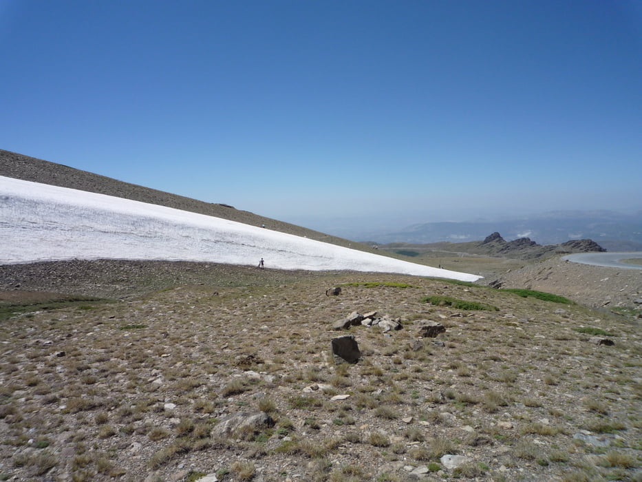
Die Tour startet in Granada, Ortsteil Cenes de la Vega an der A-4026. Zunächst geht es auf der linken Seite des Flusses bis zum Stausee. Nach dem Stausee überquert man den Fluß und es geht auf einem sehr kleinen, kaum befahrenem und serpentinenreichem Weg steil bergauf. Nach ca. 20 km trifft man auf die A-4025, wo man Richtung Granada auf der A-395 mehrere Einkehrmöglichkeiten findet. Auf der gut ausgebauten A-4025 und anschließend auf der A-395 geht es aufwärts, vorbei am Skidorf Sierra Nevada bis auf 2.700 m Höhe, wo man am Pico Veleta noch Ende Juli Schneefelder antreffen kann.
Tour gallery
Tour map and elevation profile
Minimum height 739 m
Maximum height 2710 m
More about the tour author

|
Manro |
Comments

GPS tracks
Trackpoints-
GPX / Garmin Map Source (gpx) download
-
TCX / Garmin Training Center® (tcx) download
-
CRS / Garmin Training Center® (crs) download
-
Google Earth (kml) download
-
G7ToWin (g7t) download
-
TTQV (trk) download
-
Overlay (ovl) download
-
Fugawi (txt) download
-
Kompass (DAV) Track (tk) download
-
Track data sheet (pdf) download
-
Original file of the author (gpx) download
More about the tour author
|
|
Manro |
Add to my favorites
Remove from my favorites
Edit tags
Open track
My score
Rate