


Schöpfen Sie Vitalität und Gesundheit aus der Natur!
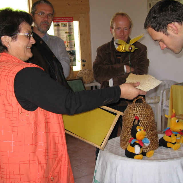
Der Gesundheitsweg rund um die Bienenluft! Themenweg mit 6 Stationen, Höhepunkt ist ein Besuch der Erlebnisimkerei Hüttner.
Ausgangspunkt dieser Wanderung ist beim GH Pernsteiner, Niederkraml, Peilstein.
Weg Nr. 8
Fordern Sie unsere Wanderkarte um EUR 3,00 hier an: info@boehmerwald.at!
Oder rufen Sie uns einfach an: Infotelefon +43 5 7890 100.
Further information at
http://www.boehmerwald.atTour gallery
Tour map and elevation profile
Minimum height 500 m
Maximum height 761 m
More about the tour author
|
|
aigen-schlaegl |
Comments

Mit dem Auto:
ab Linz: B127 bis Rohrbach - Öpping - Peilstein - Julbach - Niederkraml
ab Passau: Grenzübergang Wegscheid - Kollerschlag - Julbach - Niederkraml
Mit der Bahn: ab Linz bis Aigen-Schlägl - weiter mit dem Bus http://www.oebb.at
Mit dem Bus http://www.oebb.at
GPS tracks
Trackpoints-
GPX / Garmin Map Source (gpx) download
-
TCX / Garmin Training Center® (tcx) download
-
CRS / Garmin Training Center® (crs) download
-
Google Earth (kml) download
-
G7ToWin (g7t) download
-
TTQV (trk) download
-
Overlay (ovl) download
-
Fugawi (txt) download
-
Kompass (DAV) Track (tk) download
-
Track data sheet (pdf) download
-
Original file of the author (g7t) download
More about the tour author
|
|
aigen-schlaegl |
Add to my favorites
Remove from my favorites
Edit tags
Open track
My score
Rate