
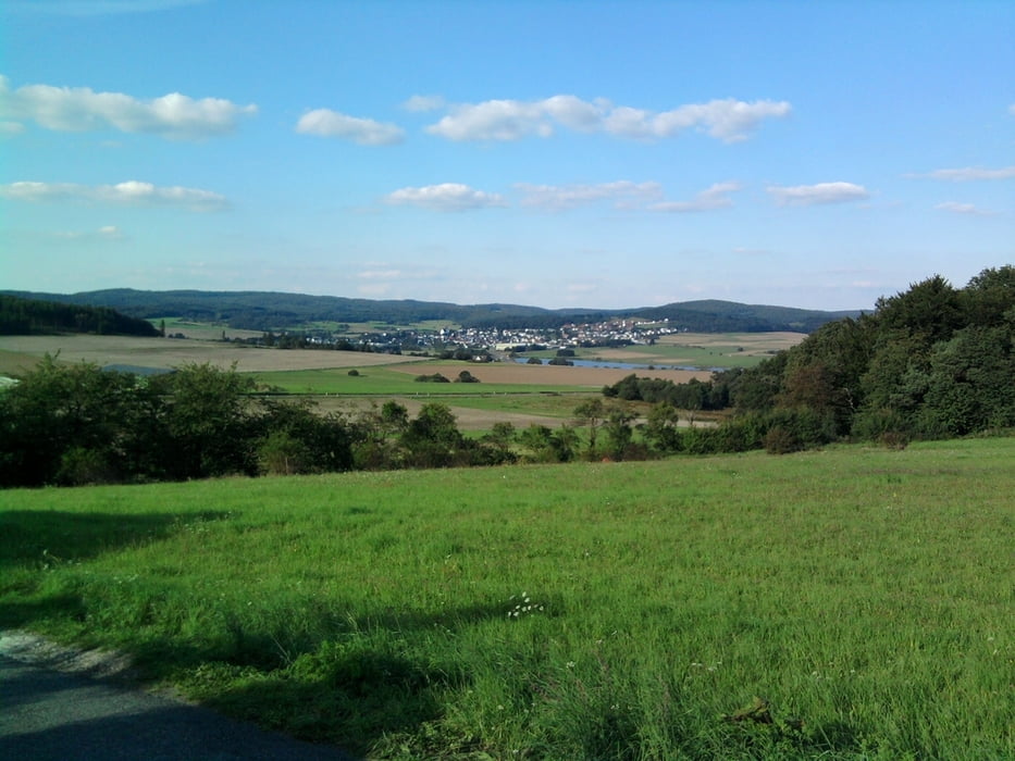

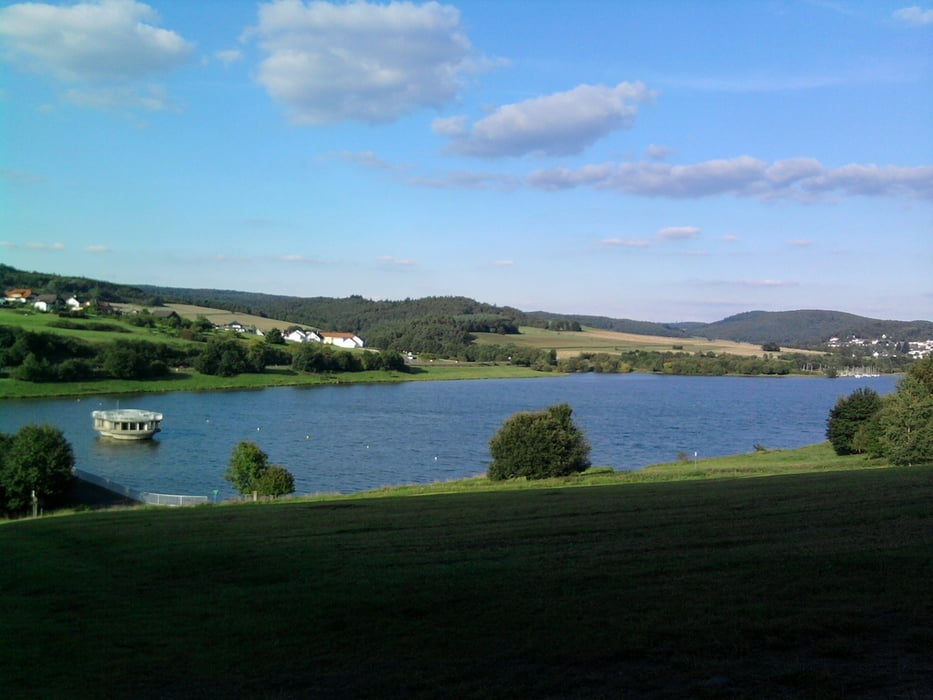
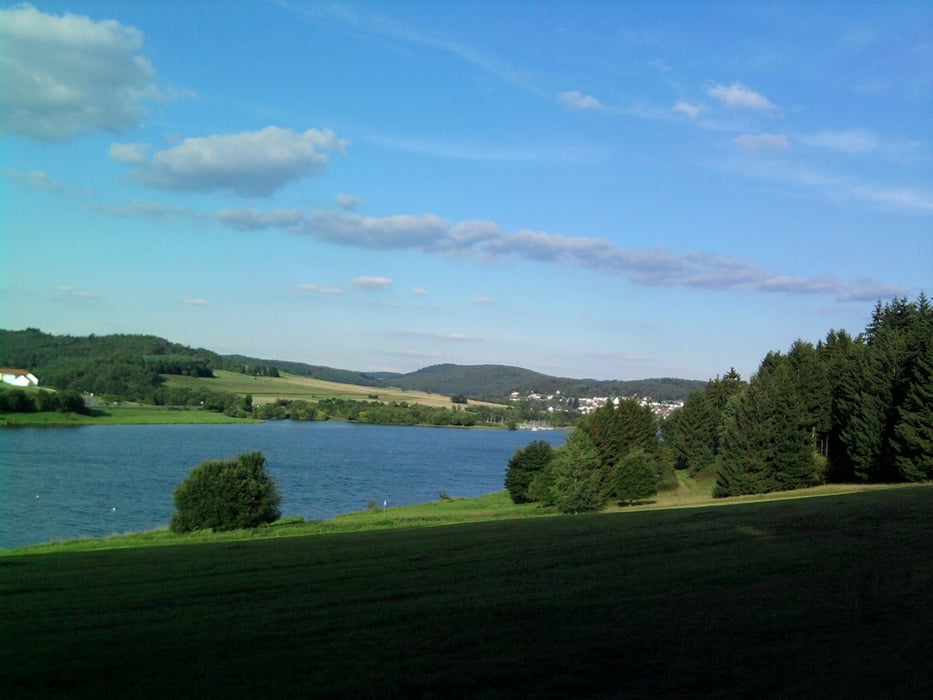
Hier habe ich versucht eine Route vom Rathaus Wetzlar zum Aartalsee zu finden. Entlang dem Dillradweg fahre ich nach Hermannstein und dann weiter auf dem Radweg in Richtung Blasbach bis zur Autobahnauffahrt. Hier biege ich ab in Richtung Steinbruch unter der Autobahnbruecke hindurch. Nun geht es auf einem Forstweg teilweise steil bergauf bis zum Schäfersberg. Weiter auf dem Marathonweg (gelbes M) bis kurz vor dem ehem. Fahrerlager am Altenberg. Nun folge ich dem Zweiburgenweg bis zur Großaltenstädter Heide. Über eine Ashaltstraße gehts hinunter nach Großaltenstädten und weiter bis nach Altenkirchen vorbei am Sportplatz und nochmal steil hoch zum Rossberg bevor es dann noch steiler hinunter geht zum Aartalsee. Entlang dem See komme ich nun zum Aartalgrill zur Stärkung.
Further information at
http://www.lahn-dill-bergland.deTour gallery
Tour map and elevation profile
Minimum height 149 m
Maximum height 397 m
More about the tour author

|
Arno Brueck |
Comments

Das Rathaus in Wetzlar ist nicht zu verfehlen.
GPS tracks
Trackpoints-
GPX / Garmin Map Source (gpx) download
-
TCX / Garmin Training Center® (tcx) download
-
CRS / Garmin Training Center® (crs) download
-
Google Earth (kml) download
-
G7ToWin (g7t) download
-
TTQV (trk) download
-
Overlay (ovl) download
-
Fugawi (txt) download
-
Kompass (DAV) Track (tk) download
-
Track data sheet (pdf) download
-
Original file of the author (gpx) download
More about the tour author
|
|
Arno Brueck |
Add to my favorites
Remove from my favorites
Edit tags
Open track
My score
Rate