


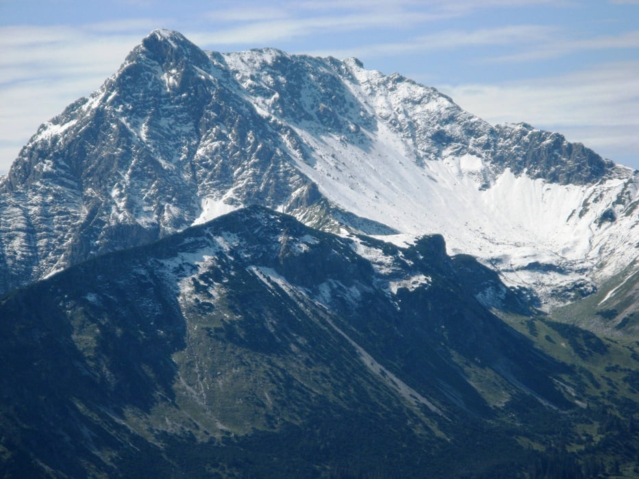
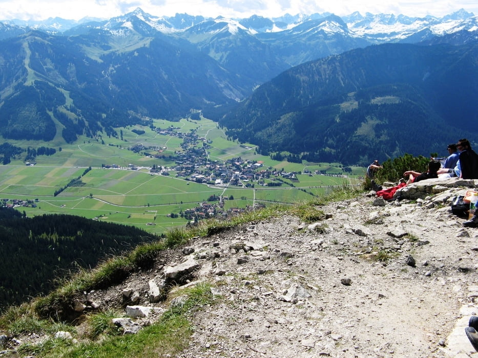
Der Einstein ist ein herrlicher Aussichtsberg im Tannheimer Tal mit exponierten Lage. Er gewährt eine 360-Grad Rundumsicht auf die Allgäuer Alpen und Tirol. Der Aufstieg ist im oberen Teil zwar sehr steil aber nicht zu schwierig.
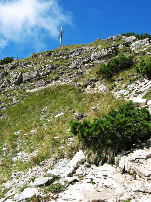
Der erste Teil der Tour führt über den Forstweg auf den Bergrücken wo es einigermaßen eben Richtung Berg bis zum Abzweig des Fußpfades links auf den Einstein führt. Ab jetzt sehr steil bis zum Gipfel.
Abstieg wie Anstieg bis zum Schild Richtung Zöblen. Über den Berggasthof Zugspitzblick ins Tal nach Zöblen und auf dem Talweg zurück nach Schattwald.
Tour gallery
Tour map and elevation profile
Minimum height 1059 m
Maximum height 1880 m
More about the tour author
|
|
juergenkeller |
Comments

Autobahnausfahrt A7 in Nesselwang Richtung B310 Wertach, Oberjoch,Tannheimer Tal. Kurz vor Oberjoch links abzweigen nach Schattwald. In Ortsmitte parken und über den Ortsteil Wies (an der Kirche links ab bis zum Abzweig des Forstwegs nach Tannheim-Berg über den Bergrücken (Wegzeiger).
GPS tracks
Trackpoints-
GPX / Garmin Map Source (gpx) download
-
TCX / Garmin Training Center® (tcx) download
-
CRS / Garmin Training Center® (crs) download
-
Google Earth (kml) download
-
G7ToWin (g7t) download
-
TTQV (trk) download
-
Overlay (ovl) download
-
Fugawi (txt) download
-
Kompass (DAV) Track (tk) download
-
Track data sheet (pdf) download
-
Original file of the author (gpx) download
More about the tour author
|
|
juergenkeller |
Add to my favorites
Remove from my favorites
Edit tags
Open track
My score
Rate