


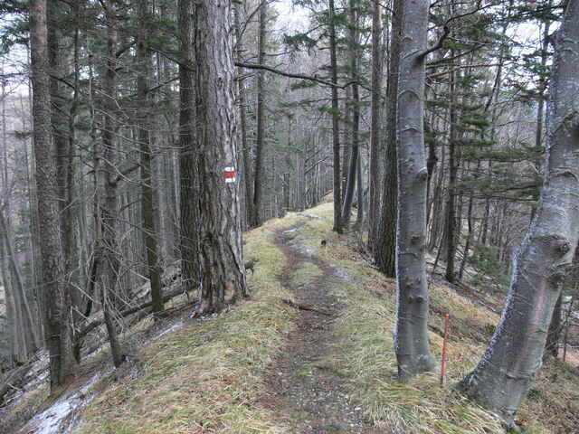
Die Tour beginnt bei Furht an der Triesting, in der Nähe der Kirche gibt es einen großen Parkplatz. Der Einstieg ist etwas versteckt bei Amöd, man sollte unbedingt auf die entsprechenden Schilder achten da Anfangs kaum ein Weg zu erkennen ist.
Vorbei am Kirchwaldstein und Geisstein, geht es über den Attsattel (911M) und Geißruck (1074M). In der Umgebung des Atzsattels gibt es einige steile Engstellen, diese sind jedoch durch ein Seil gesichert. Ab hier gibt es auch immer wieder schöne Ausblicke in Richtugn Schneeberg.
Am Kieneck lockt die Enzianhütte, auch eine Übernachtung ist möglich.
Am Rückweg geht es ~2Km steil Bergab in den Staffgraben, danach geht es aber eben bis zurück nach Furth.
Further information at
http://de.wikipedia.org/wiki/Furth_an_der_TriestingTour gallery
Tour map and elevation profile
Minimum height 412 m
Maximum height 1117 m
More about the tour author
|
|
gerhardg |
Comments

A21 Abfahrt Alland in Richtung Altenmarkt - Weissenberg - Furth a. d. Triesting. Ausreichend Parkmöglichkeiten vorhanden.
GPS tracks
Trackpoints-
GPX / Garmin Map Source (gpx) download
-
TCX / Garmin Training Center® (tcx) download
-
CRS / Garmin Training Center® (crs) download
-
Google Earth (kml) download
-
G7ToWin (g7t) download
-
TTQV (trk) download
-
Overlay (ovl) download
-
Fugawi (txt) download
-
Kompass (DAV) Track (tk) download
-
Track data sheet (pdf) download
-
Original file of the author (gpx) download
More about the tour author
|
|
gerhardg |
Add to my favorites
Remove from my favorites
Edit tags
Open track
My score
Rate