Login

Forgot your login?

Cookies have to be accepted!
Your browser's cookie functionality is disabled. Please enable this functionality.

Not a member yet?

Register now
Login

Available for registred users only

Log in to use this feature.

Forgot your login?

Cookies have to be accepted!
Your browser's cookie functionality is disabled. Please enable this functionality.

Not a member yet?

Register now
Filter
Categories
Advanced filters
  • Distance (km)
  • Height
Save filters Reset filter

TrackRank

QRCode

Technical data

Distance247,1 km Height4717 m Way down4710 m Duration00:00 h:m Date09.09.2010
Scores Author Landscape Fun factor Fitness Technique

Statistics

1425 Views Scores 260 Downloads Average
Rate
  • Track data sheet
  • Directions
  • Downloads

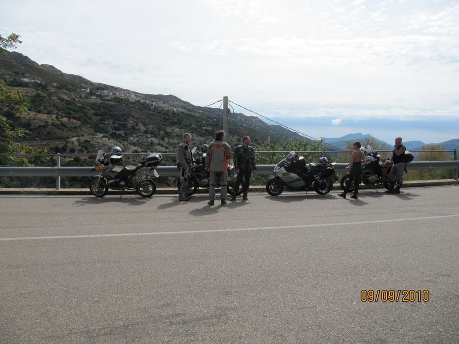
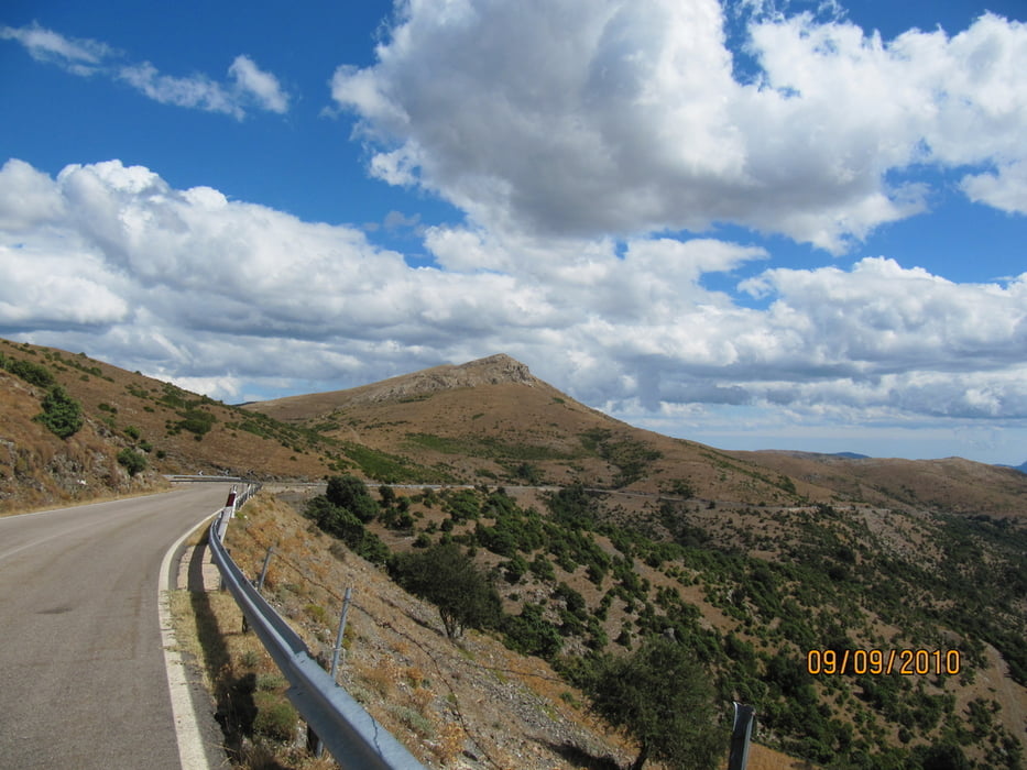
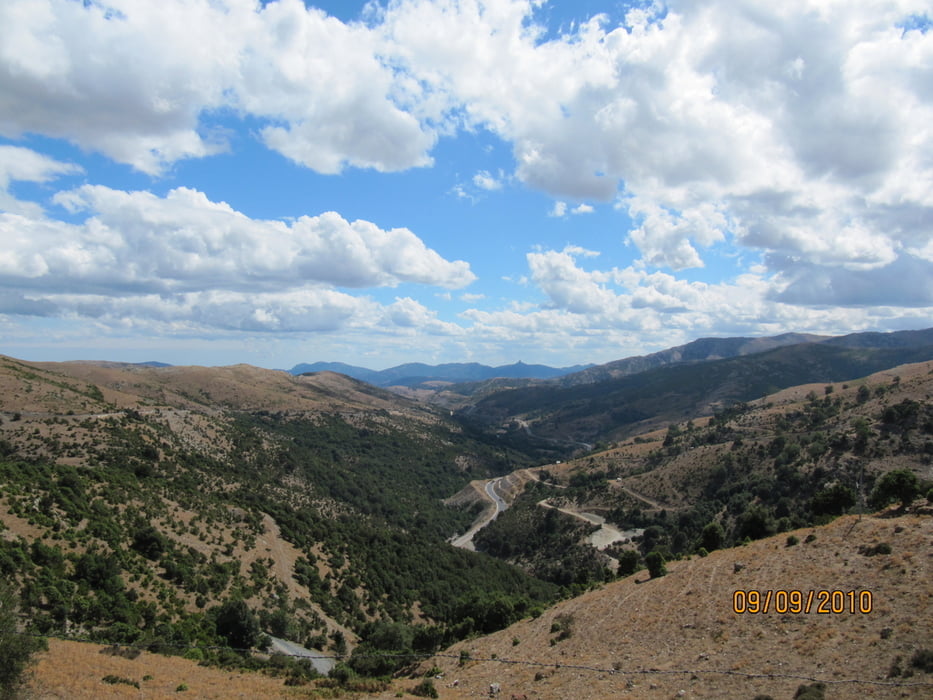
Viele Kurven auf sehr schönen Straßen. Neben Kühen und Ziegen gibt es auch "Wollshweine",die sich auf den Straßen tummeln. DankeTommy für die schöne Tour.

Further information at

http://www.campingtelis.com/index-deutch.htm

Tour gallery

Tour map and elevation profile

  • Open Street Map
  • Google
Minimum height -1 m Maximum height 1252 m Detailed view

More about the tour author

Genoveva
Member since 2008

Send private message

Comments

Ausgangspunkt ist der Campingplatz Telis in Arbatax

GPS tracks

Trackpoints
  • GPX / Garmin Map Source (gpx) download
  • TCX / Garmin Training Center® (tcx) download
  • CRS / Garmin Training Center® (crs) download
  • Google Earth (kml) download
  • G7ToWin (g7t) download
  • TTQV (trk) download
  • Overlay (ovl) download
  • Fugawi (txt) download
  • Kompass (DAV) Track (tk) download
  • Track data sheet (pdf) download
  • Original file of the author (gpx) download

More about the tour author

Genoveva
Member since 2008

Send private message
Share track
Add to my favorites
Remove from my favorites
Edit tags
My score
Rate
Track: Sardinien 2010 Tommy's Tour
Type: Motorcycles
Distance: 247,1 km
Evaluated on:
Duration:
Day(s)
Hour(s)
Minute(s)
Score: Landscape Fun factor Fitness Technique