


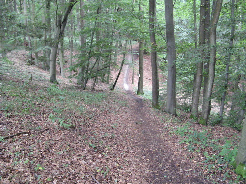
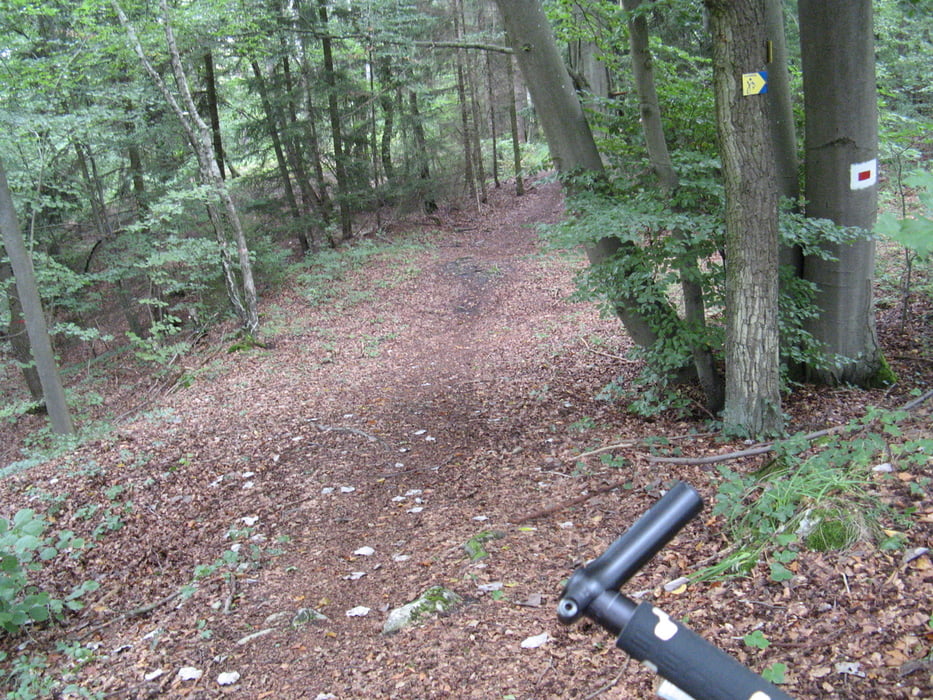
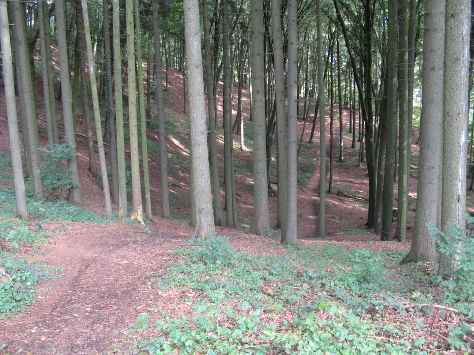
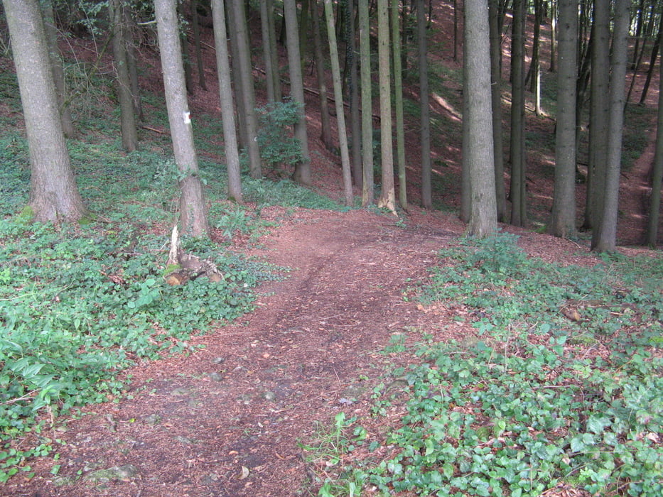
Von Pentling aus fährt man an der Donau entlang Richtung Wirtshaus Walba, danach gehts sofort in den Wald Berg auf auf Waldboden Wanderwegen Richtung Matting.
Von Matting aus wieder im Wald Steil Bergauf grob in Richtung Bad Abbach.
Von BAd Abbach aus geht es über die Brücke und an der Donau entlang auf geraden Schotterpisten wieder nach Prüfening und Pentling.
Further information at
http://gasthof-regensburg.walba.de/gasthof/Tour gallery
Tour map and elevation profile
Minimum height 327 m
Maximum height 458 m
More about the tour author
|
|
Morphosys |
Comments

Von Prüfeníng an der Donau entlang Richtung Wirtshaus Walba !
GPS tracks
Trackpoints-
GPX / Garmin Map Source (gpx) download
-
TCX / Garmin Training Center® (tcx) download
-
CRS / Garmin Training Center® (crs) download
-
Google Earth (kml) download
-
G7ToWin (g7t) download
-
TTQV (trk) download
-
Overlay (ovl) download
-
Fugawi (txt) download
-
Kompass (DAV) Track (tk) download
-
Track data sheet (pdf) download
-
Original file of the author (gpx) download
More about the tour author
|
|
Morphosys |
Add to my favorites
Remove from my favorites
Edit tags
Open track
My score
Rate