Login

Forgot your login?

Cookies have to be accepted!
Your browser's cookie functionality is disabled. Please enable this functionality.

Not a member yet?

Register now
Login

Available for registred users only

Log in to use this feature.

Forgot your login?

Cookies have to be accepted!
Your browser's cookie functionality is disabled. Please enable this functionality.

Not a member yet?

Register now
Filter
Categories
Advanced filters
  • Distance (km)
  • Height
Save filters Reset filter

TrackRank

QRCode

Technical data

Distance77,4 km Height1575 m Way down1526 m Duration05:13 h:m Date10.09.2010
Scores Author Landscape Fun factor Fitness Technique

Statistics

1278 Views Scores 219 Downloads Average
Rate
  • Track data sheet
  • Directions
  • Downloads

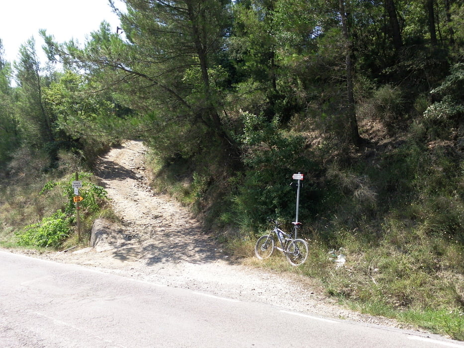
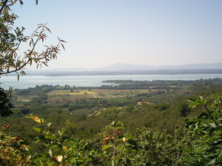
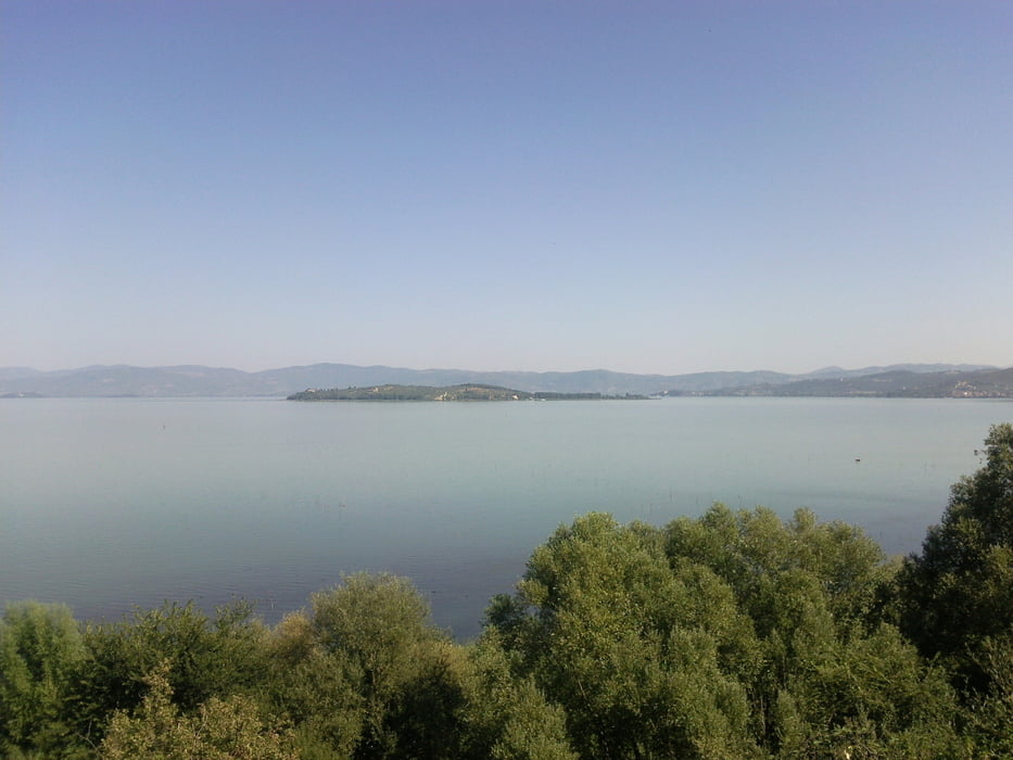
Der Startpunkt war Castiglione del Lago. am See entlang bis Borghetto. Hinauf auf die Höhen und um den See herum, fast bis Panicale, dann wieder zum Ausgangspunkt zurück

Tour gallery

Tour map and elevation profile

  • Open Street Map
  • Google
Minimum height 183 m Maximum height 739 m Detailed view

More about the tour author

Stigi
Member since 2010

Send private message

Comments

Startpunkt in Castiglione war am alten Airport am See unterhalb der Stadt, Zielpunkt war der gleiche

GPS tracks

Trackpoints
  • GPX / Garmin Map Source (gpx) download
  • TCX / Garmin Training Center® (tcx) download
  • CRS / Garmin Training Center® (crs) download
  • Google Earth (kml) download
  • G7ToWin (g7t) download
  • TTQV (trk) download
  • Overlay (ovl) download
  • Fugawi (txt) download
  • Kompass (DAV) Track (tk) download
  • Track data sheet (pdf) download
  • Original file of the author (gpx) download

More about the tour author

Stigi
Member since 2010

Send private message
Share track
Add to my favorites
Remove from my favorites
Edit tags
My score
Rate
Track: Auf den Höhen rund um den Trasimeno See
Type: Mountain bike
Distance: 77,4 km
Evaluated on:
Duration:
Day(s)
Hour(s)
Minute(s)
Score: Landscape Fun factor Fitness Technique