


Immer wieder eine schöne Tour. Wir haben Sie diesmal in der kurzen Variante gemacht und sind von der Lenggrieser Hütte zum Gipfel und zurück gegangen, statt ihn zu überschreiten.
Die Wege sind nicht anspruchsvoll, wenns naß ist, vielleicht ein wenig rutschig kurz vor der Hütte.
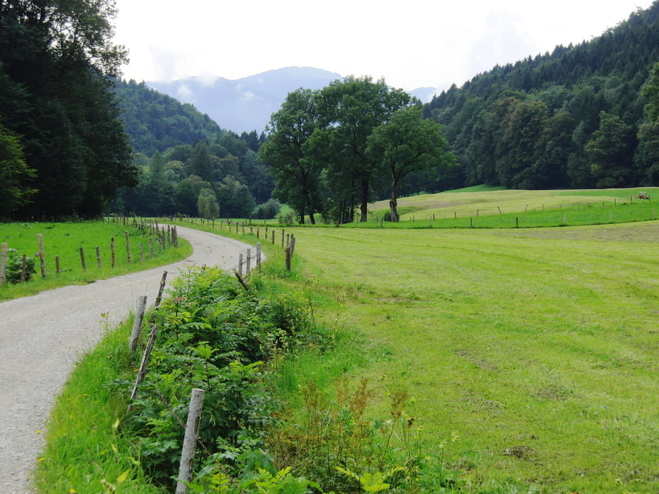
Diesmal sind wir durchs Mühlbachtal abgestiegen. Der Weg geht druch den Wald, ist gut ausgebaut mit vielen Stufen und führt dann auf die Fahrstraße Richtung Hohenburg.
Further information at
http://www.lenggries.comTour gallery

Tour map and elevation profile
Minimum height 702 m
Maximum height 1604 m
More about the tour author

|
smartandem |
Comments

A8 bis Holzkirchen. Dann nach Bad Tölz und weiter nach Lenggries. In Lenggries der Hauptstraße folgen bis links ein Abzweig nach Hohenburg kommt. Dort Abbiegen und am Parkplatz parken. Mit Gebühr: 2 EUR
Manchmal ist vor dem Schulgebäude kurz vor dem Parkplatz rechts der Straße eine Möglichkeit kostenlos zu stehen.
GPS tracks
Trackpoints-
GPX / Garmin Map Source (gpx) download
-
TCX / Garmin Training Center® (tcx) download
-
CRS / Garmin Training Center® (crs) download
-
Google Earth (kml) download
-
G7ToWin (g7t) download
-
TTQV (trk) download
-
Overlay (ovl) download
-
Fugawi (txt) download
-
Kompass (DAV) Track (tk) download
-
Track data sheet (pdf) download
-
Original file of the author (gpx) download
More about the tour author
|
|
smartandem |
Add to my favorites
Remove from my favorites
Edit tags
Open track
My score
Rate