


Landschaftlich schöne und körperlich anspruchsvolle Runde mit
wenig Strassenanteil, drei Talsperren und viele andere Höhepunkte.
(Kemmler Kulm, Elstertal, Neuendorf, Naturschutzgebiet Windmühle, Syrau
Stadtwald Plauen, Barthmühle, Lochbauer, Kemmler )
Am besten fährt sich die Runde im Uhrzeigersinn.Non Stop in etwa vier Stunden machbar ,oder schöne Tagestour mit einigen Einkehrmöglichkeiten.(Lochbauer,Barthmühle,Imbiss Tahlsperre Pirk ,Brückenimbiss in Pirk)
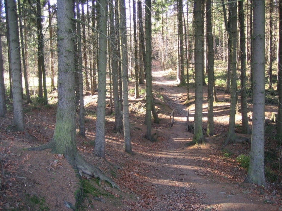
Tour gallery


Tour map and elevation profile
Minimum height 316 m
Maximum height 544 m
More about the tour author

|
vivo63 |
Comments

GPS tracks
Trackpoints-
GPX / Garmin Map Source (gpx) download
-
TCX / Garmin Training Center® (tcx) download
-
CRS / Garmin Training Center® (crs) download
-
Google Earth (kml) download
-
G7ToWin (g7t) download
-
TTQV (trk) download
-
Overlay (ovl) download
-
Fugawi (txt) download
-
Kompass (DAV) Track (tk) download
-
Track data sheet (pdf) download
-
Original file of the author (gpx) download
More about the tour author
|
|
vivo63 |
Add to my favorites
Remove from my favorites
Edit tags
Open track
My score
Rate