


Sehr schöne Skitour im Kärntner Lesachtal das unter Skitourengeher noch weitestgehend unbekannt ist, also trifft man bei diesen Touren relativ wenige Leute.
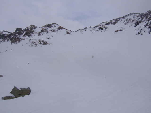
Diese Tour ist bis kurz unter den Gipfel eine relativ leichte, da nicht sehr steil. Nur die letzten 150hm bis zum Gipfel gehen dann an die 40 Grad heran.
Diese Tour ist bis kurz unter den Gipfel eine relativ leichte, da nicht sehr steil. Nur die letzten 150hm bis zum Gipfel gehen dann an die 40 Grad heran.
Tour gallery
Tour map and elevation profile
Minimum height 1152 m
Maximum height 2215 m
More about the tour author

|
guenther.rupitz |
Comments

Mit dem Auto bis Klebas im Lesachtal, dort von der Bundesstraße in Richtung Obergail abzweigen, dort Beschildert in Richtung Obergailer Alm bis die Straße nicht mehr geräumt ist. Siehe WP "P Wasserköpfe".
GPS tracks
Trackpoints-
GPX / Garmin Map Source (gpx) download
-
TCX / Garmin Training Center® (tcx) download
-
CRS / Garmin Training Center® (crs) download
-
Google Earth (kml) download
-
G7ToWin (g7t) download
-
TTQV (trk) download
-
Overlay (ovl) download
-
Fugawi (txt) download
-
Kompass (DAV) Track (tk) download
-
Track data sheet (pdf) download
-
Original file of the author (gpx) download
More about the tour author
|
|
guenther.rupitz |
Add to my favorites
Remove from my favorites
Edit tags
Open track
My score
Rate