Login

Forgot your login?

Cookies have to be accepted!
Your browser's cookie functionality is disabled. Please enable this functionality.

Not a member yet?

Register now
Login

Available for registred users only

Log in to use this feature.

Forgot your login?

Cookies have to be accepted!
Your browser's cookie functionality is disabled. Please enable this functionality.

Not a member yet?

Register now
Filter
Categories
Advanced filters
  • Distance (km)
  • Height
Save filters Reset filter

TrackRank

QRCode

Technical data

Distance38,4 km Height1213 m Way down1192 m Duration00:00 h:m Date12.09.2010
Scores Author Landscape Fun factor Fitness Technique

Statistics

1103 Views Scores 154 Downloads Average
Rate
  • Track data sheet
  • Directions
  • Downloads

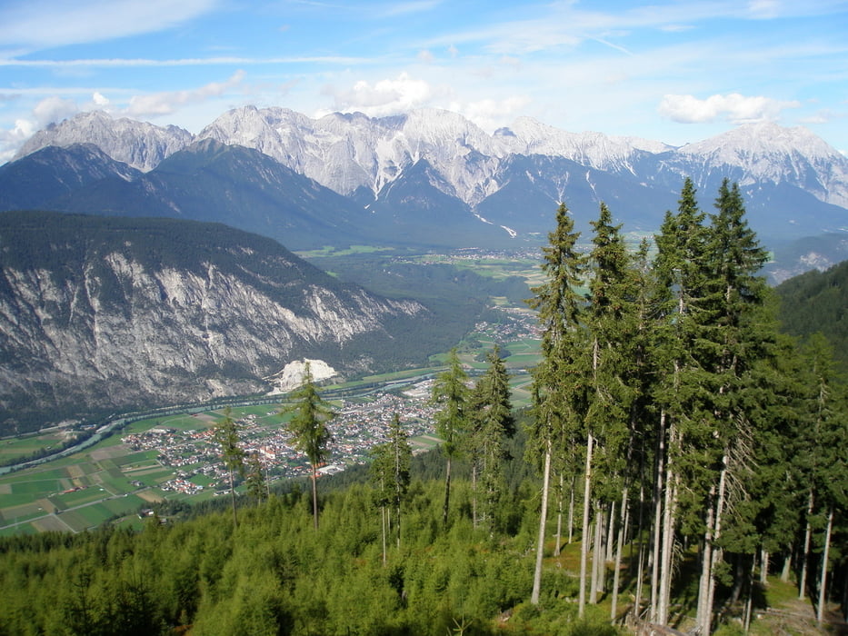
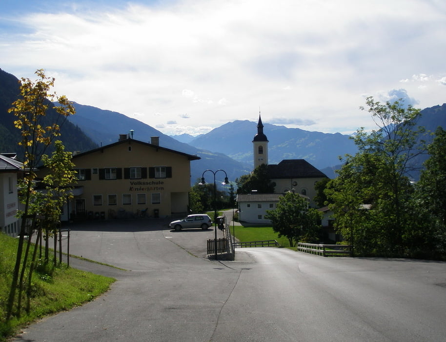
Start in Ötztal Bahnhof. Auf dem Ötztaltrail bis Oetz. Auf der Kühaier Landesstrasse bis Ochsengarten, hier Richtung Haiming bis zum Sattele. Auf der Forststrasse bis zur Feldringalm. Zurück zum Sattele und hinunter ins Inntal nach Haiming, Ötztal Bahnhof.

Tour gallery

Tour map and elevation profile

  • Open Street Map
  • Google
Minimum height 697 m Maximum height 1891 m Detailed view

More about the tour author

simplon73
Member since 2009

Send private message

Comments

bimberla on 15.09.2020

enttäuschend

Heute nachgefahren. Fast nur Landstrasse, für MTB nicht zu empfehlen :-(
pezlei on 02.10.2023

Pezlei

Jetzt ist leider Fahrverbot für Räder !!!!!

GPS tracks

Trackpoints
  • GPX / Garmin Map Source (gpx) download
  • TCX / Garmin Training Center® (tcx) download
  • CRS / Garmin Training Center® (crs) download
  • Google Earth (kml) download
  • G7ToWin (g7t) download
  • TTQV (trk) download
  • Overlay (ovl) download
  • Fugawi (txt) download
  • Kompass (DAV) Track (tk) download
  • Track data sheet (pdf) download
  • Original file of the author (gpx) download

More about the tour author

simplon73
Member since 2009

Send private message
Share track
Add to my favorites
Remove from my favorites
Edit tags
My score
Rate
Track: Feldringalm
Type: Mountain bike
Distance: 38,4 km
Evaluated on:
Duration:
Day(s)
Hour(s)
Minute(s)
Score: Landscape Fun factor Fitness Technique