Login

Forgot your login?

Cookies have to be accepted!
Your browser's cookie functionality is disabled. Please enable this functionality.

Not a member yet?

Register now
Login

Available for registred users only

Log in to use this feature.

Forgot your login?

Cookies have to be accepted!
Your browser's cookie functionality is disabled. Please enable this functionality.

Not a member yet?

Register now
Filter
Categories
Advanced filters
  • Distance (km)
  • Height
Save filters Reset filter

TrackRank

QRCode

Technical data

Distance37,3 km Height421 m Way down397 m Duration02:30 h:m Date12.09.2010
Scores Author User Landscape Fun factor Fitness Technique

Statistics

709 Views 2 Scores 127 Downloads 3.50 Average
Rate
  • Track data sheet
  • Directions
  • Downloads

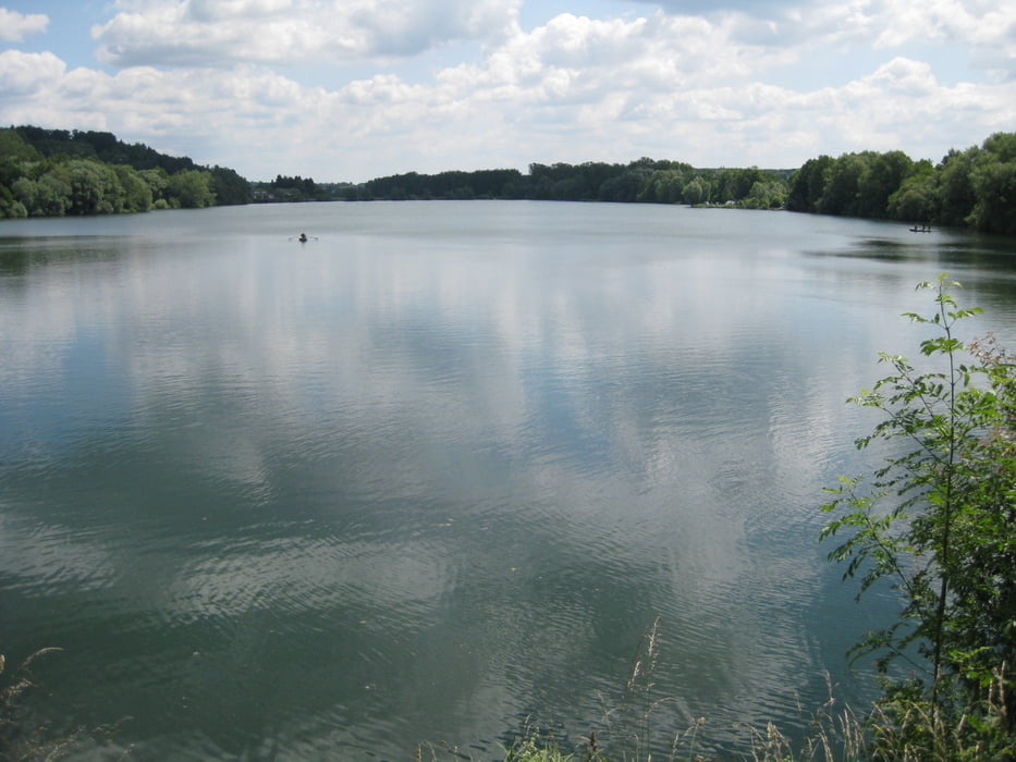
Vorbei an insgesamt sieben Seen führt dieser aussichtsreiche Rundkurs. Bei guter Sicht bietet sich ein herrlicher Ausblick auf das Alpenvorland und das Alpenpanorama. Diese sehr einfache Tour ist auch für Kinder geeignet zumal sich auf der ganzen Strecke immer wieder herrliche Plätzchen zum Verweilen anbieten. 

Further information at

http://www.vogt.de

Tour map and elevation profile

  • Open Street Map
  • Google
Minimum height 617 m Maximum height 716 m Detailed view

More about the tour author

SirRobin
Member since 2009

Send private message

Comments

erwin58 on 01.11.2016

Tipp 4 Tour

Sehr schöne, entspannende MTB- Tour. Wir machten noch einen lohnenden Abstecher nach Eintürnen, ca. 1,2 km etwas bergab, abseits der Route. Dort gibt es ein schönes, kleines Land- Kaffee, das täglich bis 17:00h geöffnet hat. Wir genossen nen Kaffee und leckere hausgemachte Kuchen. Vielen Dank für die schöne Tour.

Ausgangspunkt der Tour ist die Mozartstraße in 88267 Vogt. Dort findet man die Allgäutor Halle, die über ausreichend kostenfreie Parkplätze verfügt. 

GPS tracks

Trackpoints
  • GPX / Garmin Map Source (gpx) download
  • TCX / Garmin Training Center® (tcx) download
  • CRS / Garmin Training Center® (crs) download
  • Google Earth (kml) download
  • G7ToWin (g7t) download
  • TTQV (trk) download
  • Overlay (ovl) download
  • Fugawi (txt) download
  • Kompass (DAV) Track (tk) download
  • Track data sheet (pdf) download
  • Original file of the author (gpx) download

More about the tour author

SirRobin
Member since 2009

Send private message
Share track
Add to my favorites
Remove from my favorites
Edit tags
My score
Rate
Track: Sieben Seen Rundweg
Type: Mountain bike
Distance: 37,3 km
Evaluated on:
Duration:
Day(s)
Hour(s)
Minute(s)
Score: Landscape Fun factor Fitness Technique