


bin die Tour leider auch nur selbst nachgefahren. Sehr hoher Asphaltanteil, schätze um die 90% der Rest ist Schotter. von der Fahrtechnik unspektatulär und als Ganztagestour eher als Trekking-Tour einzustufen. Landschaftlich und kulturell äußerst reizvoll und in der Innenstadt von Eger kostet die Halbe immer noch sagenhafter € 1,50.
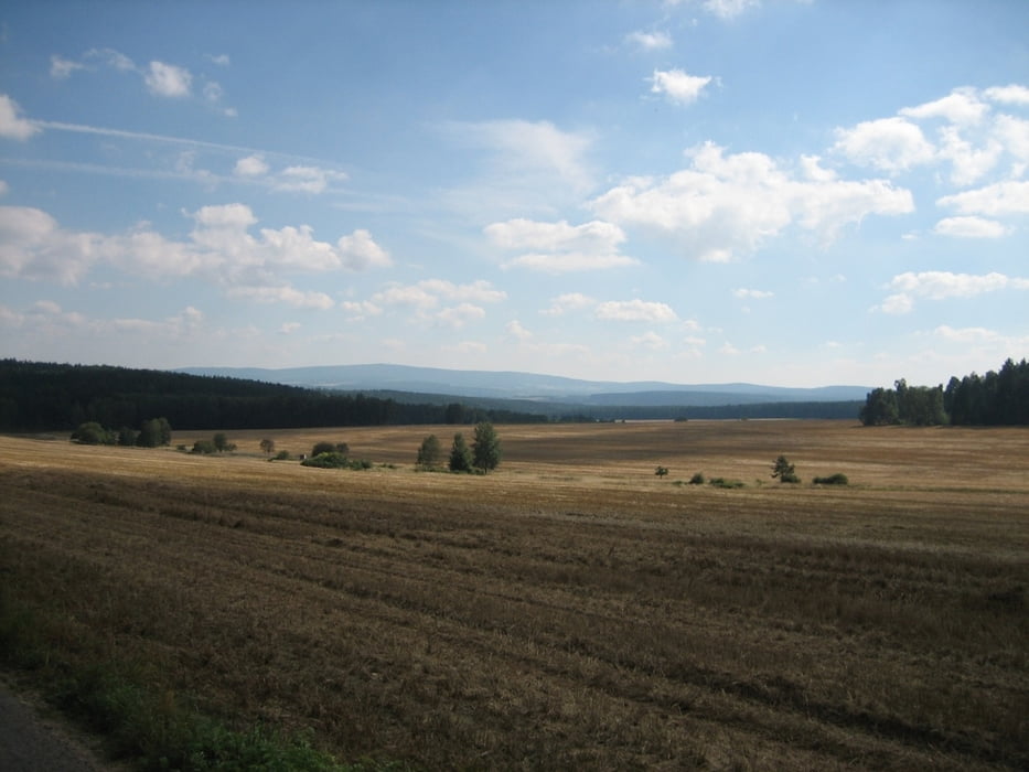
Tour gallery


Tour map and elevation profile
Minimum height 442 m
Maximum height 935 m
More about the tour author

|
Pitcairn |
Comments
GPS tracks
Trackpoints-
GPX / Garmin Map Source (gpx) download
-
TCX / Garmin Training Center® (tcx) download
-
CRS / Garmin Training Center® (crs) download
-
Google Earth (kml) download
-
G7ToWin (g7t) download
-
TTQV (trk) download
-
Overlay (ovl) download
-
Fugawi (txt) download
-
Kompass (DAV) Track (tk) download
-
Track data sheet (pdf) download
-
Original file of the author (gpx) download
More about the tour author
|
|
Pitcairn |
Add to my favorites
Remove from my favorites
Edit tags
Open track
My score
Rate
Trekking-Tour, kein MTB
unter http://www.bikemap.net/route/696579#lat=50.04523&lng=12.35413&zoom=11&type=2 schreibst Du:
Distanz: 101,6 km
Höhenmeter: ca. 1300 m
Belag: Asphalt, Schotter
Kategorie: besonders für Mountainbike geeignet
Angelegt am: 12.09.2010
Auf 2 Seiten die gl. Tour angelegt, unterschiedliche Höhenangabe, unterschiedliche Bewertung - besonders für Mountainbike geeignet - das andere Mal für Tourenrad
Super