


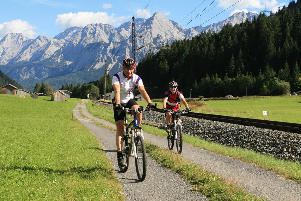
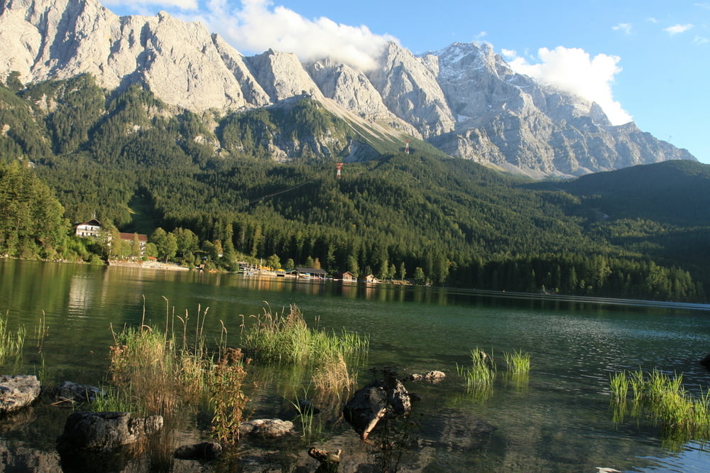
Direkt vom Eibsee-Hotel geht es zunächst in Richtung Neuner Alm und auf einem herrlichen Trail in Richtung Grainau. Von hier am rechten Ufer der Loisach (in Fahrtrichtung) in Richtung Grießen. Hier biegen wir in das Tälchen ein, welches uns nun, leicht ansteigend, bis zum Plansee führt. Auf der linken Seite über den Traumtrail bis zum Heiterwanger See (nicht am Wochenende- viele Wanderer). Über Lähn, Ehrwald und Grainau wieder zurück zum Eibsee.
Further information at
http://www.eibsee-hotel.deTour gallery

Tour map and elevation profile
Minimum height 723 m
Maximum height 1162 m
More about the tour author
|
|
EIBSEE-HOTEL |
Comments

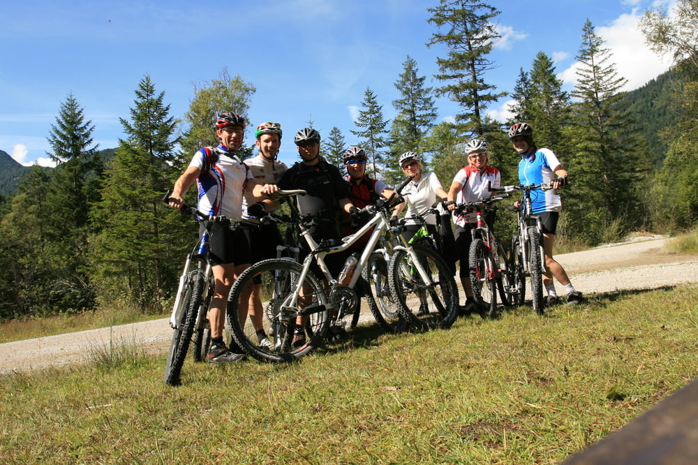
Ausgangspunkt der Tour ist direkt am Eibsee-Hotel.
GPS tracks
Trackpoints-
GPX / Garmin Map Source (gpx) download
-
TCX / Garmin Training Center® (tcx) download
-
CRS / Garmin Training Center® (crs) download
-
Google Earth (kml) download
-
G7ToWin (g7t) download
-
TTQV (trk) download
-
Overlay (ovl) download
-
Fugawi (txt) download
-
Kompass (DAV) Track (tk) download
-
Track data sheet (pdf) download
-
Original file of the author (gpx) download
More about the tour author
|
|
EIBSEE-HOTEL |
Add to my favorites
Remove from my favorites
Edit tags
Open track
My score
Rate