


Weitere Bilder: www.panoramio.com/photo/46795418
Gestartet wird beim Kunstmuseum in Stuttgart. Über den Herdweg geht es zur Straße "Am Kräherwald". Parallel zu dieser Hauptstraße gibt es sogar einen Single-Trail. Nördlich am Birkenkopf geht es vorbei - wer will, kann auch auf den Birkenkopf fahren. Am nördlchen Ende vom Bärensee geht es Richtung Glemseck. Die Strecke geht Richtung A8, dann an Magstadt vorbei zur S-Bahn nach Maichingen.
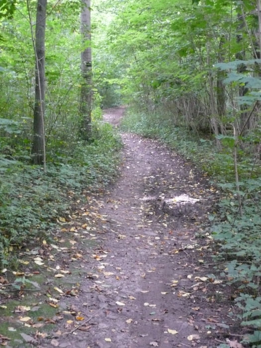
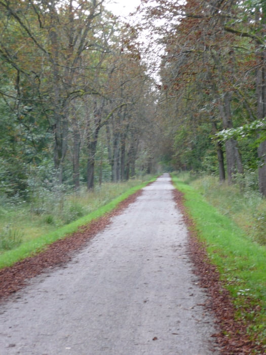
In der Regel werden geschotterte Forstwege genutzt. Ein paar kürzere Single-Trail-Strecken (allerdings meist parallel von Hauptstraßen) sind integriert.
Wer will, kann auch weiter nach Bad Wildbad fahren und von dort aus per Bahn zurück nach Stuttgart.
Further information at
http://www.stuttgart-tourist.deTour gallery

Tour map and elevation profile
Minimum height 270 m
Maximum height 507 m
More about the tour author
|
|
MatthiasBy |
Comments

Start ist in Stuttgart am Kleinen Schlossplatz. Ende ist in Maichingen an der S-Bahn.
GPS tracks
Trackpoints-
GPX / Garmin Map Source (gpx) download
-
TCX / Garmin Training Center® (tcx) download
-
CRS / Garmin Training Center® (crs) download
-
Google Earth (kml) download
-
G7ToWin (g7t) download
-
TTQV (trk) download
-
Overlay (ovl) download
-
Fugawi (txt) download
-
Kompass (DAV) Track (tk) download
-
Track data sheet (pdf) download
-
Original file of the author (gpx) download
More about the tour author
|
|
MatthiasBy |
Add to my favorites
Remove from my favorites
Edit tags
Open track
My score
Rate